Dale 75 m asl
Advanced site that can be hard to read. Can give huge height gains in light wind, but also strong turbulence.
Before you launch
Low-voltage power line below the launch
There is a low-voltage power line below the launch, on the upper side of the road. Be careful.
Turbulence
The turbulence is often more serious than at Trastad. Over 5 m/s: keep a little extra brake.
Map
- Launch
- Landing
- PParking
- Directions the site works for
Access
- Parking
- By the field below the road, where you walk up to the launch. Do not block tractors that need to get into the field.
- Way up
- Not registered yet
- Time
- Not registered yet
Launch
Launch on the fields above the road. Avoid launching here when the grass is tall in summer.
- SSW Covers more southerly winds than Trastad. After launching you can turn north towards Daleskallen and ridge soar there.
Landing
In the field below the road, where you park and walk up to the launch.
Always check the landing before you fly. If you land in a field, it must be agreed with the farmer, and the grass must not be tall.
Facts
- Main direction S, SW
- Possible
- Not suitable
- Level
- Category
- Elevation
- Launch75 m asl Landing12 m asl Difference63 m
- Airspace above launch
-
Fetched automatically from openAIP 24 Sep 2026.
Always check IPPC (opens in a new tab) before you fly. Phone numbers for the towers
Weather

Photos
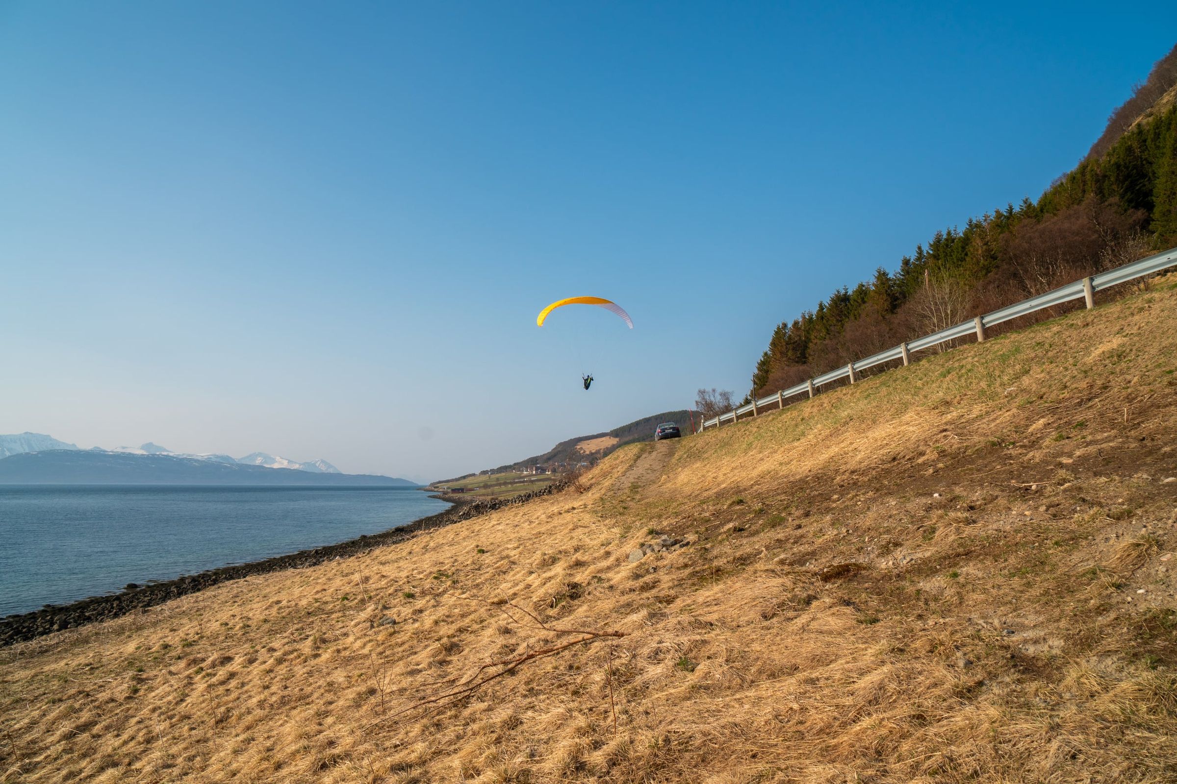
Photo: Kristoffer D. Hofstad · CC BY-NC 4.0
More photos are needed. Do you have photos from here? Send them in (opens in a new tab)