Svartdalsåsen 340 m asl
Among the best thermal generators in the area, often with ridge lift at the same time. Rarely used, since Kilhusåsen offers an easier walk in NW. If you have walked up here, feel free to send the GPX track to the club.
Before you launch
No particular hazards registered for this site.
Map
- Launch
- Landing
- Directions the site works for
Parking has not been registered yet.
Access
- Parking
- At the shooting range on Heggenkollen.
- Way up
- Follow the trail up to Appelsinhaugen, and on along Svartdalsåsen to the launch at the far south side. Alternatively the mountain road from Folkeparken past Musvannet.
- Time
- About 30 min on foot
Launch
The launch is fairly steep, but cleared of bushes and scrub. Same level as Kilhusåsen, but requires reasonably good launch technique. Many fly here from Kilhusåsen.
- WNW Ridge soaring and thermal ridge soaring.
Landing
Landing description missing.
Always check the landing before you fly. If you land in a field, it must be agreed with the farmer, and the grass must not be tall.
Facts
- Main direction W, NW
- Possible
- Not suitable
- Level
- Category
- Season
- Elevation
- Launch340 m asl Landing79 m asl Difference261 m
- Airspace above launch
-
Fetched automatically from openAIP 6 Oct 2026.
Always check IPPC (opens in a new tab) before you fly. Phone numbers for the towers
Weather

Photos
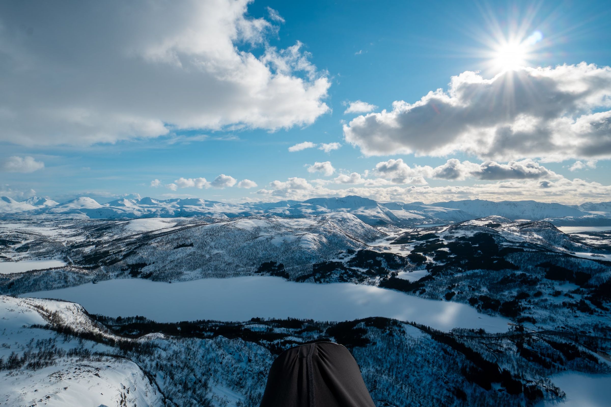
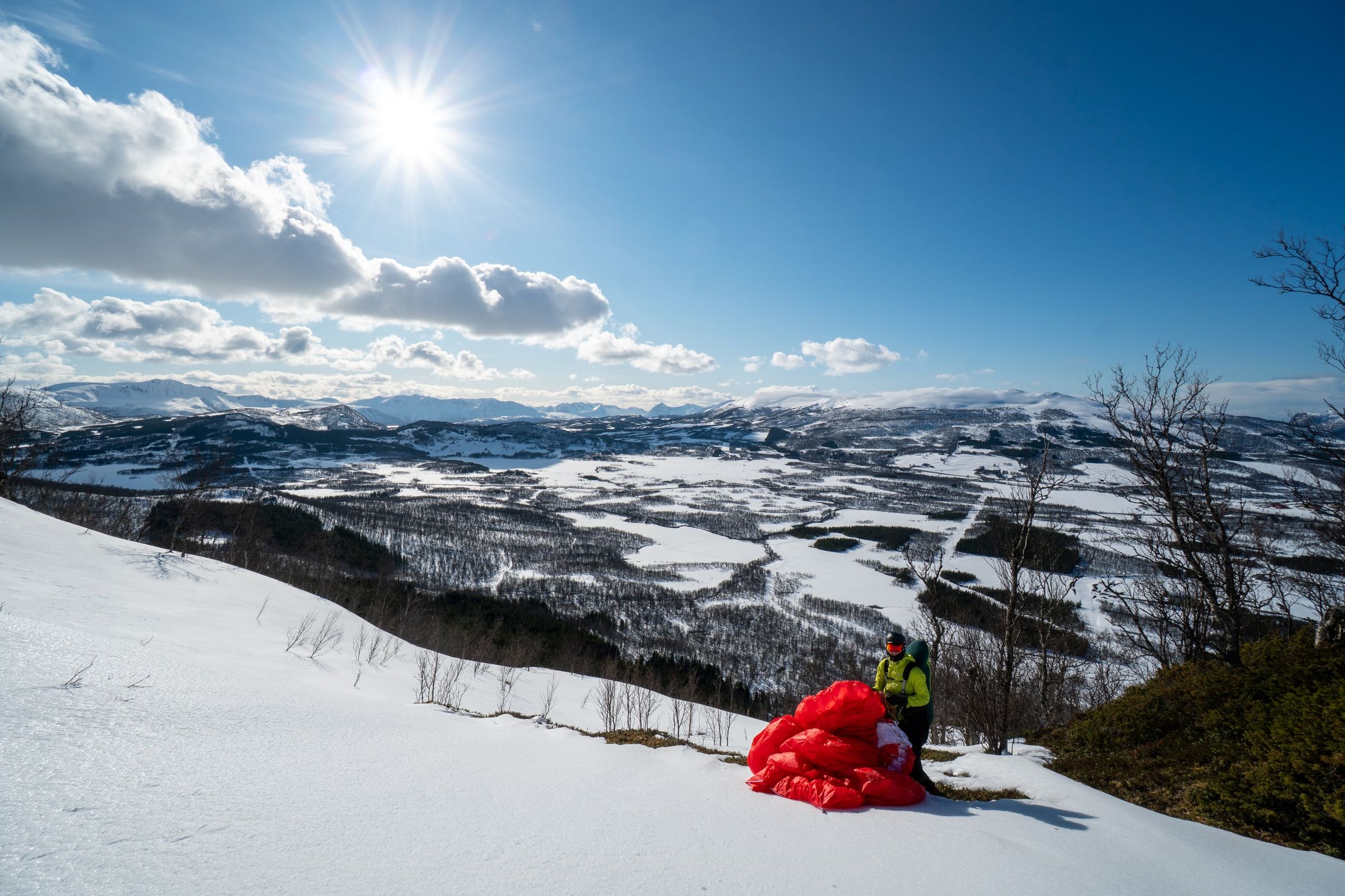
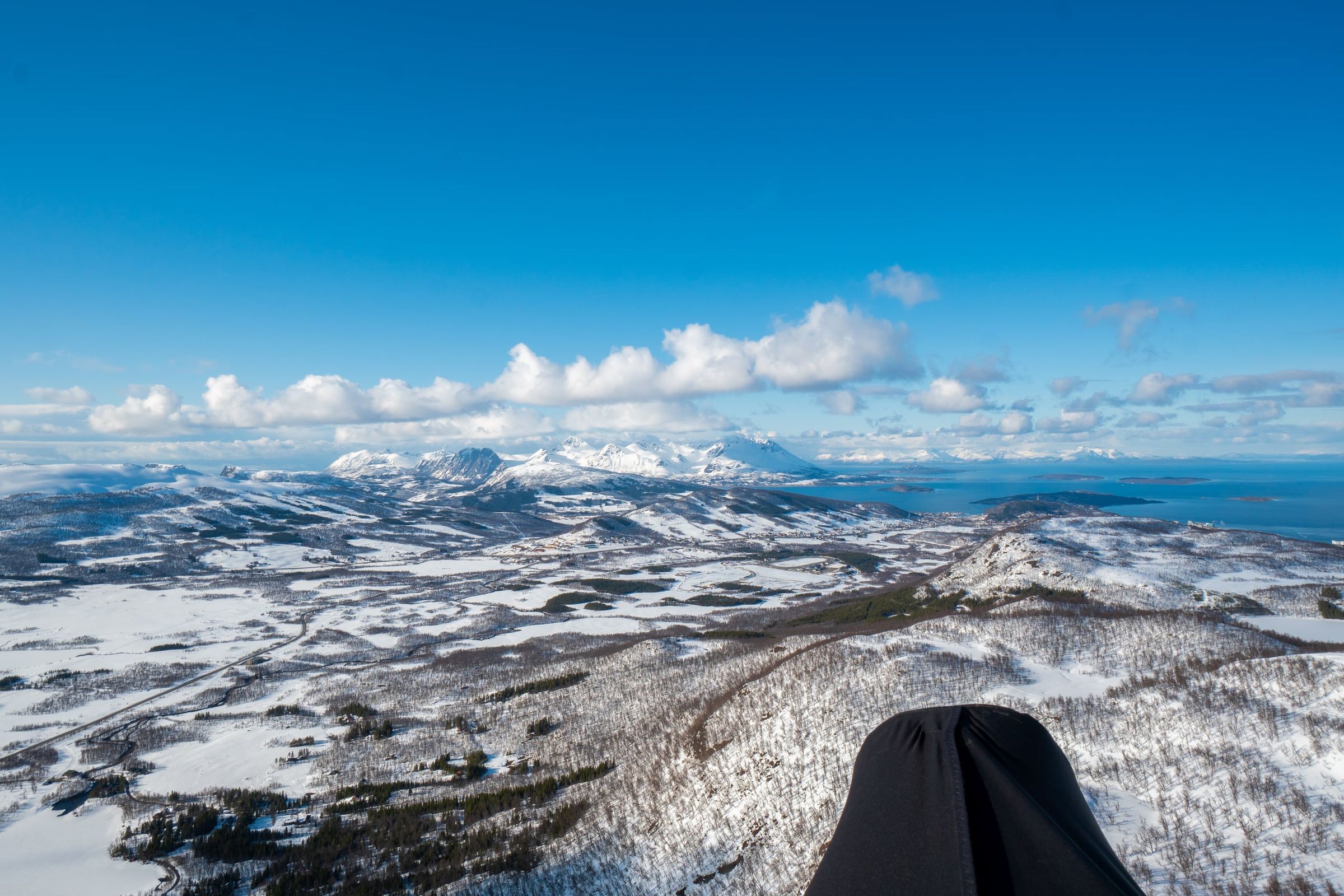
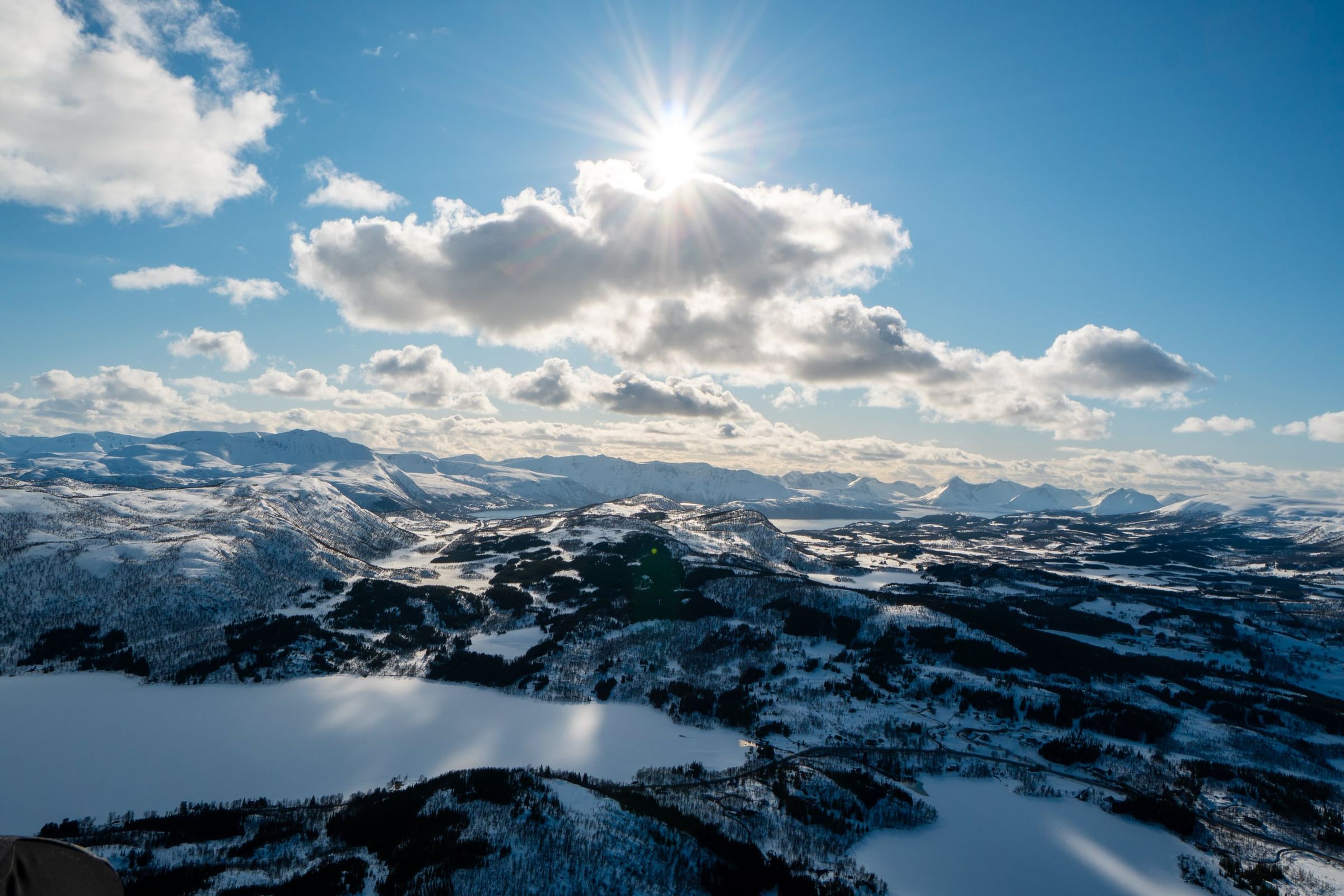
Photo: Kristoffer D. Hofstad · CC BY-NC 4.0