Storlitinden 597 m asl
One of the club's most used sites, with a short and easy walk up from Kvæfjordeidet. Ridge soaring, thermals and top-to-bottom flights.
Before you launch
Wave wind
The site is exposed to wind, and in wave conditions the wind comes down here. Avoid flying in wave conditions.
Easterly wind
With an easterly component, a marked sink area forms over the first half of the flight towards the landing, sometimes so strong that you do not make it down. Over 5 m/s from SE or E the site is not recommended; use Vetefjellet instead.
Strong wind at the landing
The wind often picks up over Kvæfjordeidet. With strong wind aloft, the landing can cause penetration problems and turbulence.
Map
- Launch
- Landing
- PParking
- Walking route
- Directions the site works for
- Possible direction
Access
- Parking
- At the Red Cross cabin (Røde Kors-hytta) on Kvæfjordeidet, or at Kvæfjordløyper about 650 m further south.
- Way up
- The trail from the cabin is easy to find. The trail from Kvæfjordløyper is mostly used in winter, because that parking is cleared of snow. From the Red Cross cabin: 2.3 km and about 410 m of climbing. From Kvæfjordløyper: 2.7 km and about 420 m of climbing.
- Time
- From the Red Cross cabin: About 40 min on foot From Kvæfjordløyper: About 50 min on foot
Elevation profile
Distance 0 km
Elevation
Grade
Steeper than 25%
Launch
Launch areas on both sides of the cairn, on moss and grass.
- SSW The main slope. Works well in wind over 4 m/s, and is often used to gain height on flights from Kvæfjord.
- SE Somewhat gentle and requires good airspeed. Good for top-to-bottom flights.
- NW Ridge soaring on the back side is possible. Watch out for the rotor on the way down.
Landing
At the Red Cross cabin on Kvæfjordeidet, where the car is parked. There is also a landing at the foot of the mountain, which you see on the way up.
Always check the landing before you fly. If you land in a field, it must be agreed with the farmer, and the grass must not be tall.
Facts
- Main direction SE, S, SW
- Possible NW
- Not suitable
- Level
- Category
- Season
- Elevation
- Launch597 m asl Landing206 m asl Difference391 m
- Airspace above launch
-
Fetched automatically from openAIP 24 Sep 2026.
Always check IPPC (opens in a new tab) before you fly. Phone numbers for the towers
Weather

Photos
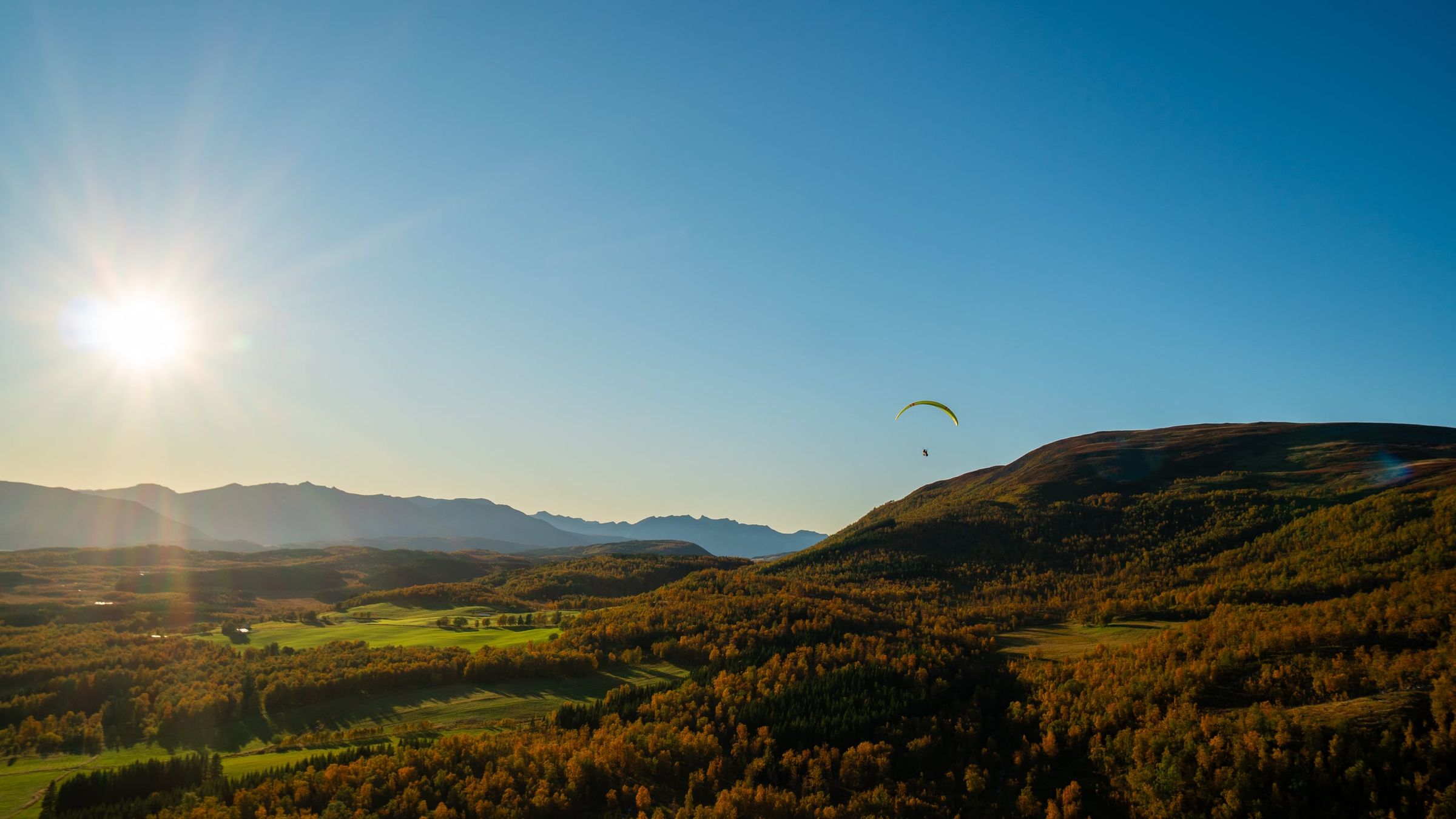
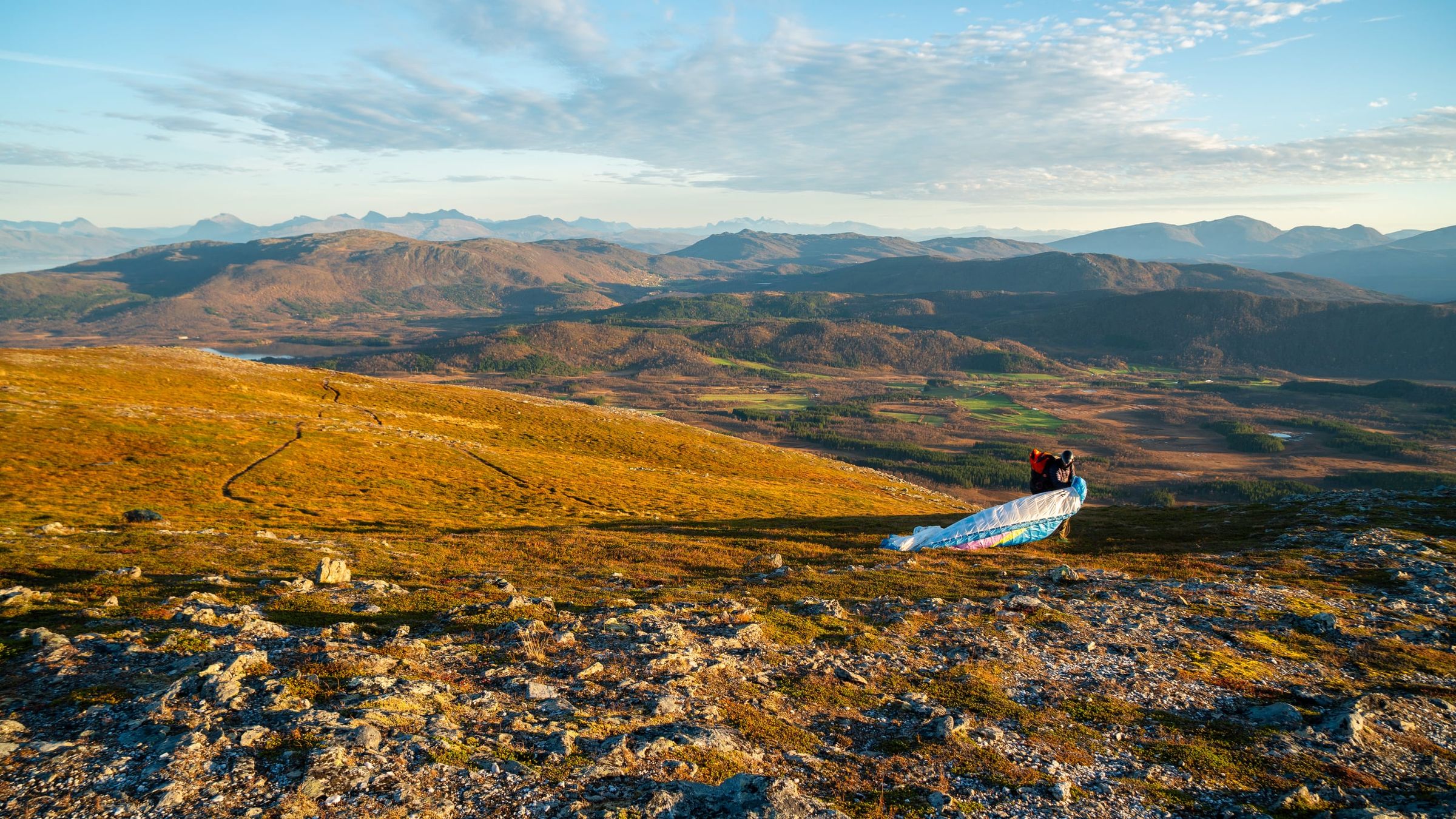
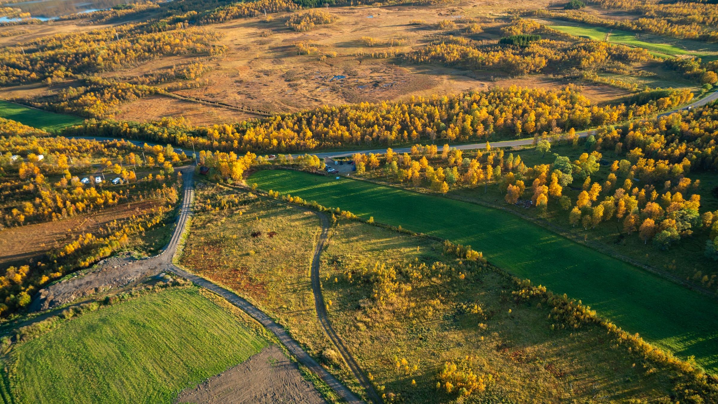
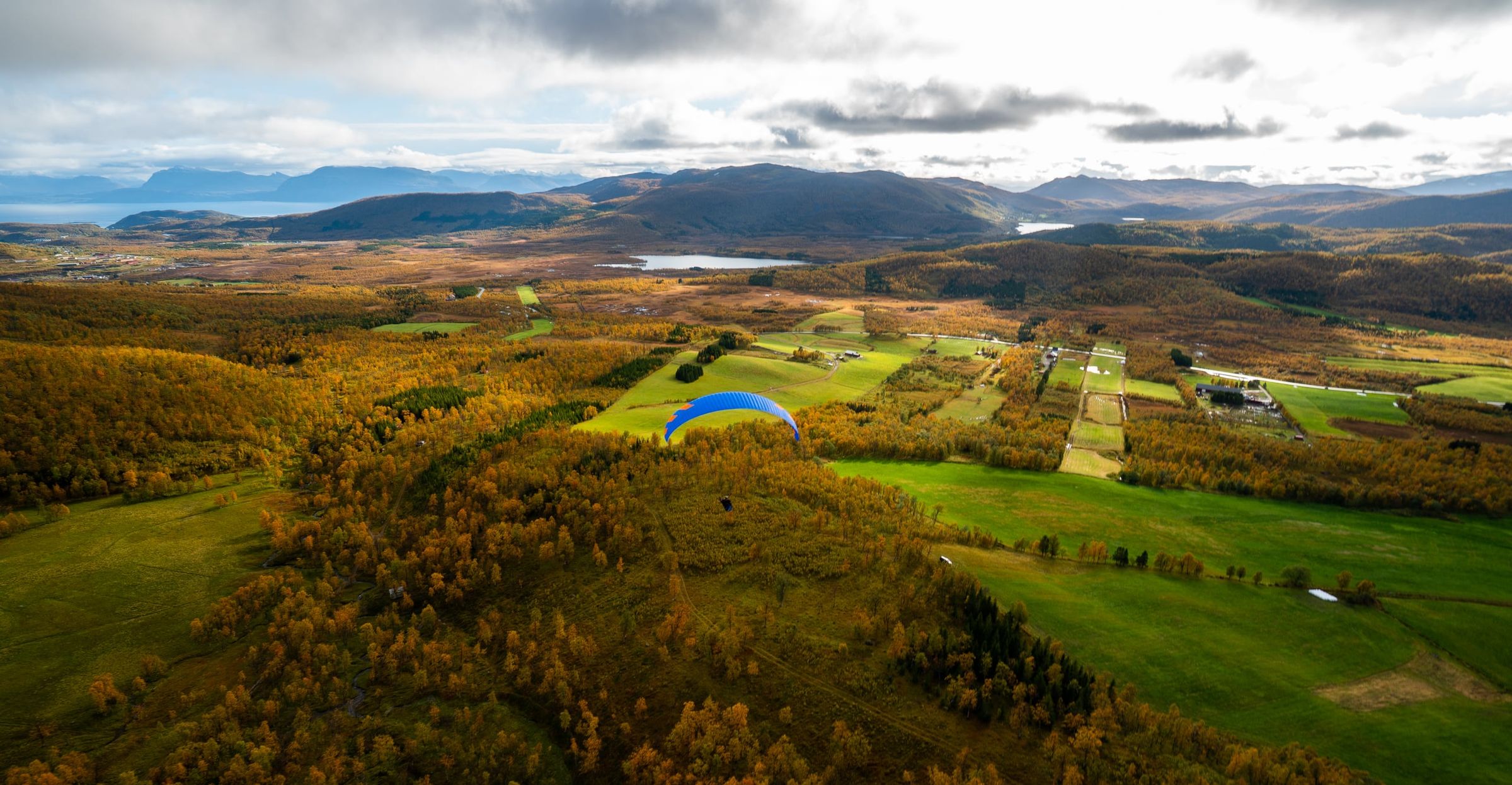
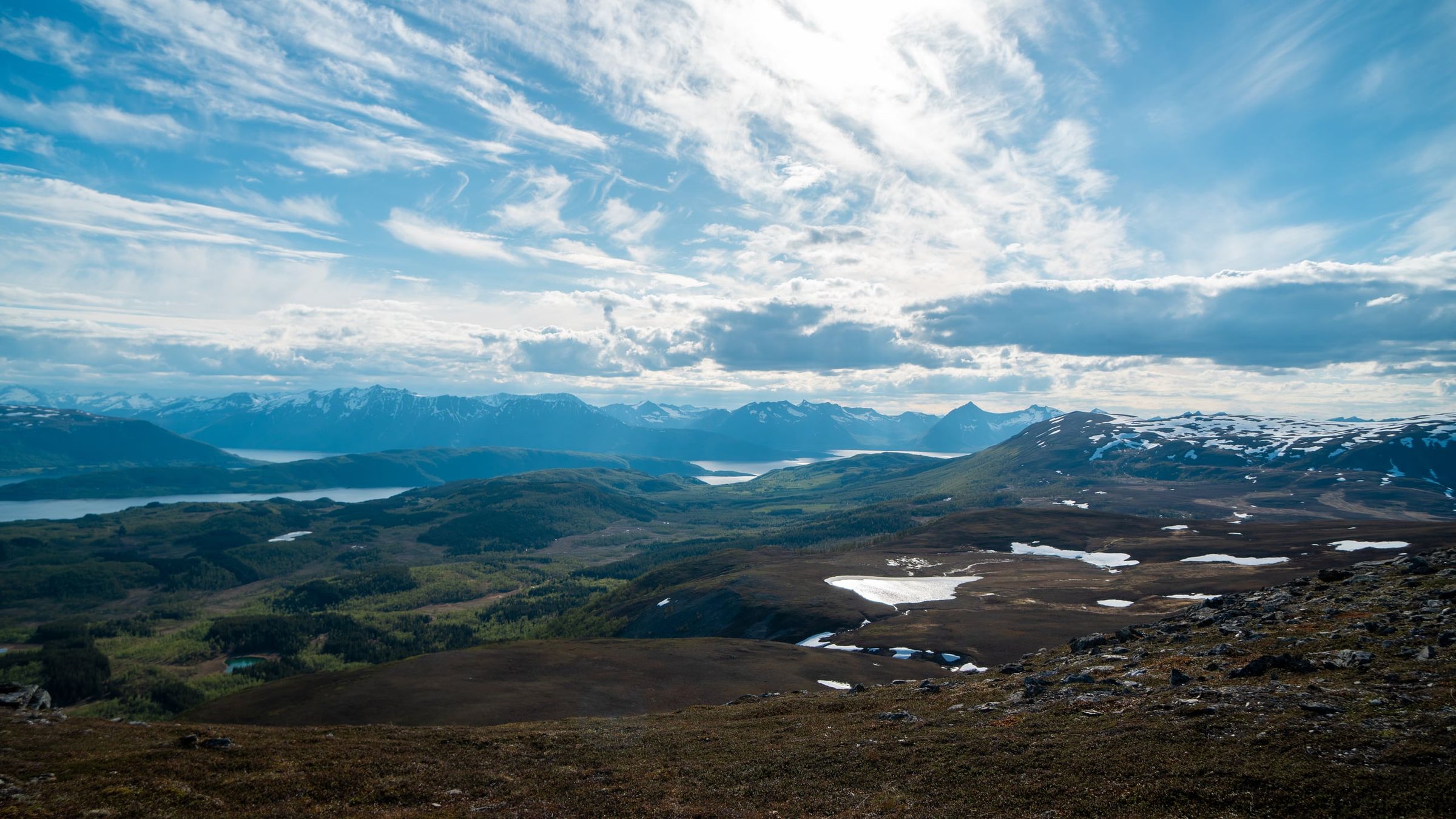
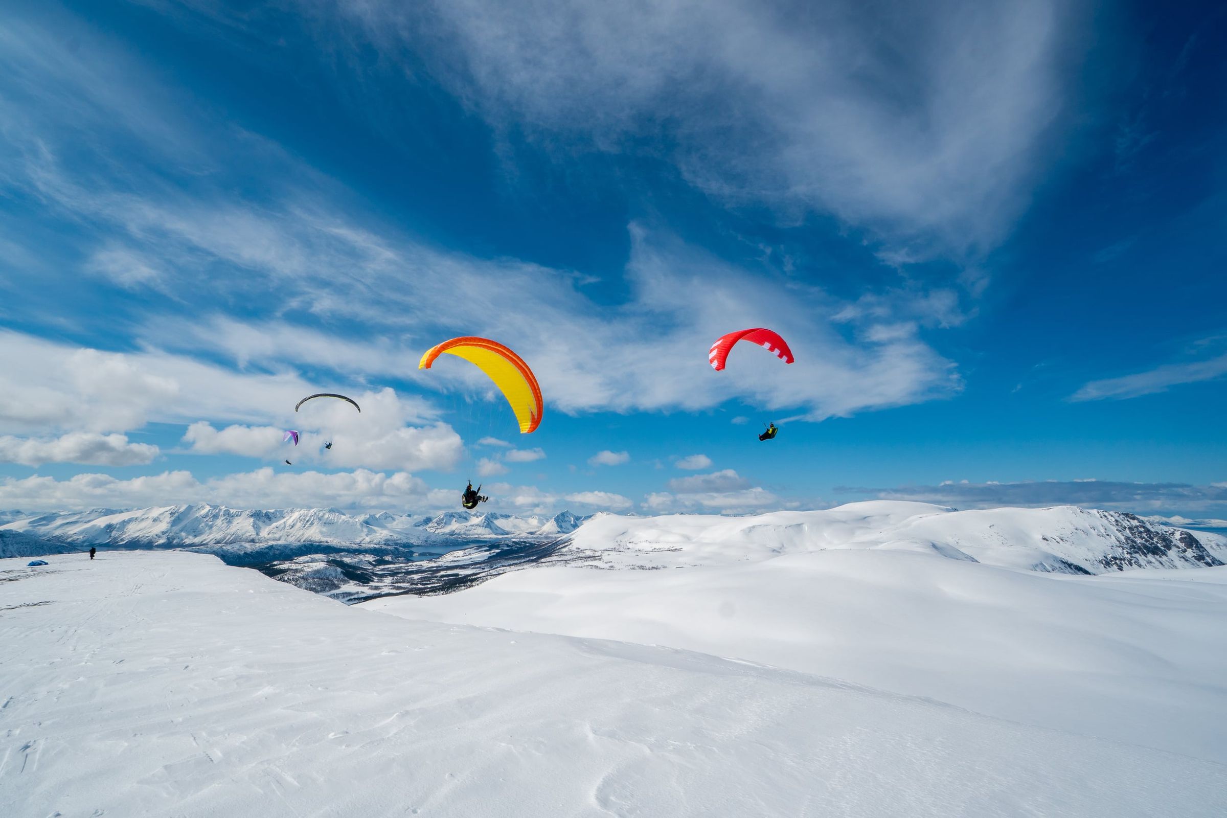
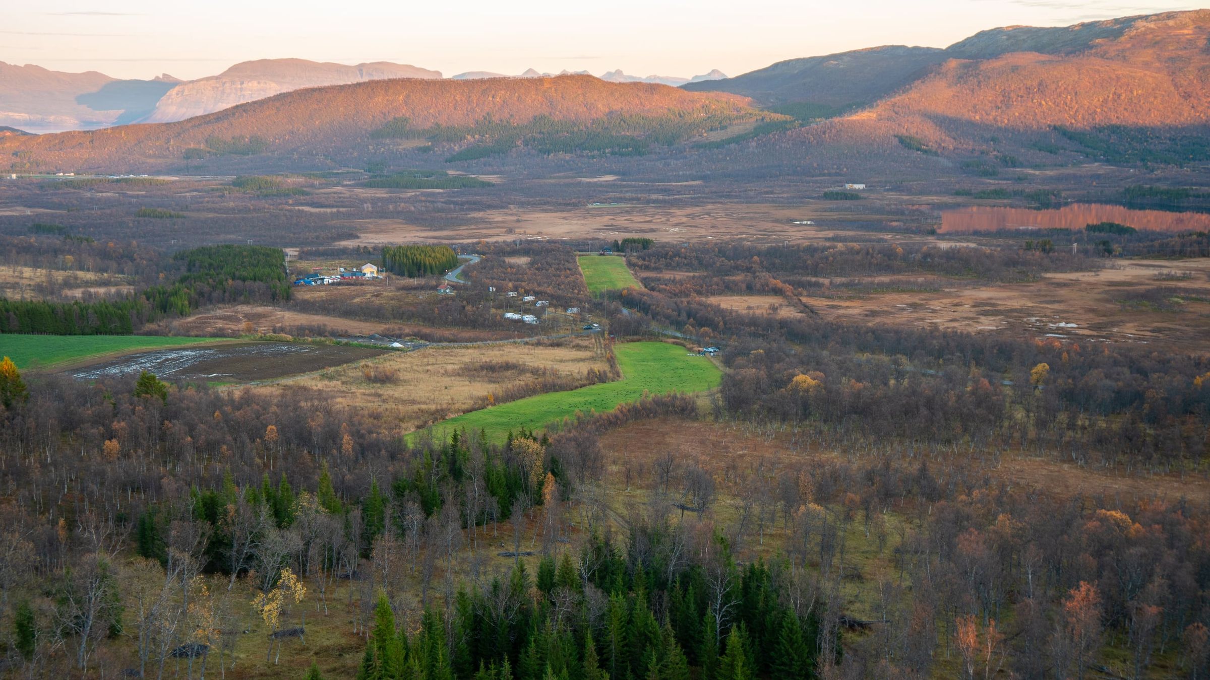
Photo: Kristoffer D. Hofstad · CC BY-NC 4.0