Storhornet 609 m asl
One of the club's most used and best sites. Covers many wind directions, has a large height difference and is an excellent starting point for cross-country flights.
Before you launch
No particular hazards registered for this site.
Map
- Launch
- Landing
- Landing at the upper parking
- The bog by the upper parking
- PParking
- Walking route
- Directions the site works for
Access
- Parking
- Starting point from Molvika. The club has an agreement with the landowner, so you can drive the forest road all the way up to a fence. Vipps NOK 50 per car to 984 17 630 when you drive all the way up.
- Way up
- Driving all the way up to the fence saves about 40–45 min of walking. Otherwise you walk the whole way.
Elevation profile
Launch
Three launches: upper, middle and lower. The main launch is marked on the map. Also used as a training hill. Open terrain with little mechanical turbulence, giving strong lift both in ridge lift and thermals.
- WNWNNEE The site covers many directions from the three launches.
Landing
Landing by the sea. Speedriders can land by Bremnesvannet.
If you drive all the way up, you can also land at the upper parking. The field slopes downwards, so be careful if you fly in towards the north and the sea. Close by there is also a good bog to land on.
Always check the landing before you fly. If you land in a field, it must be agreed with the farmer, and the grass must not be tall.
Facts
- Main direction N, NE, E, W, NW
- Possible
- Not suitable
- Level
- Category
- Elevation
- Launch609 m asl Landing19 m asl Difference590 m
- Airspace above launch
-
Fetched automatically from openAIP 24 Sep 2026.
Always check IPPC (opens in a new tab) before you fly. Phone numbers for the towers
Weather

Photos
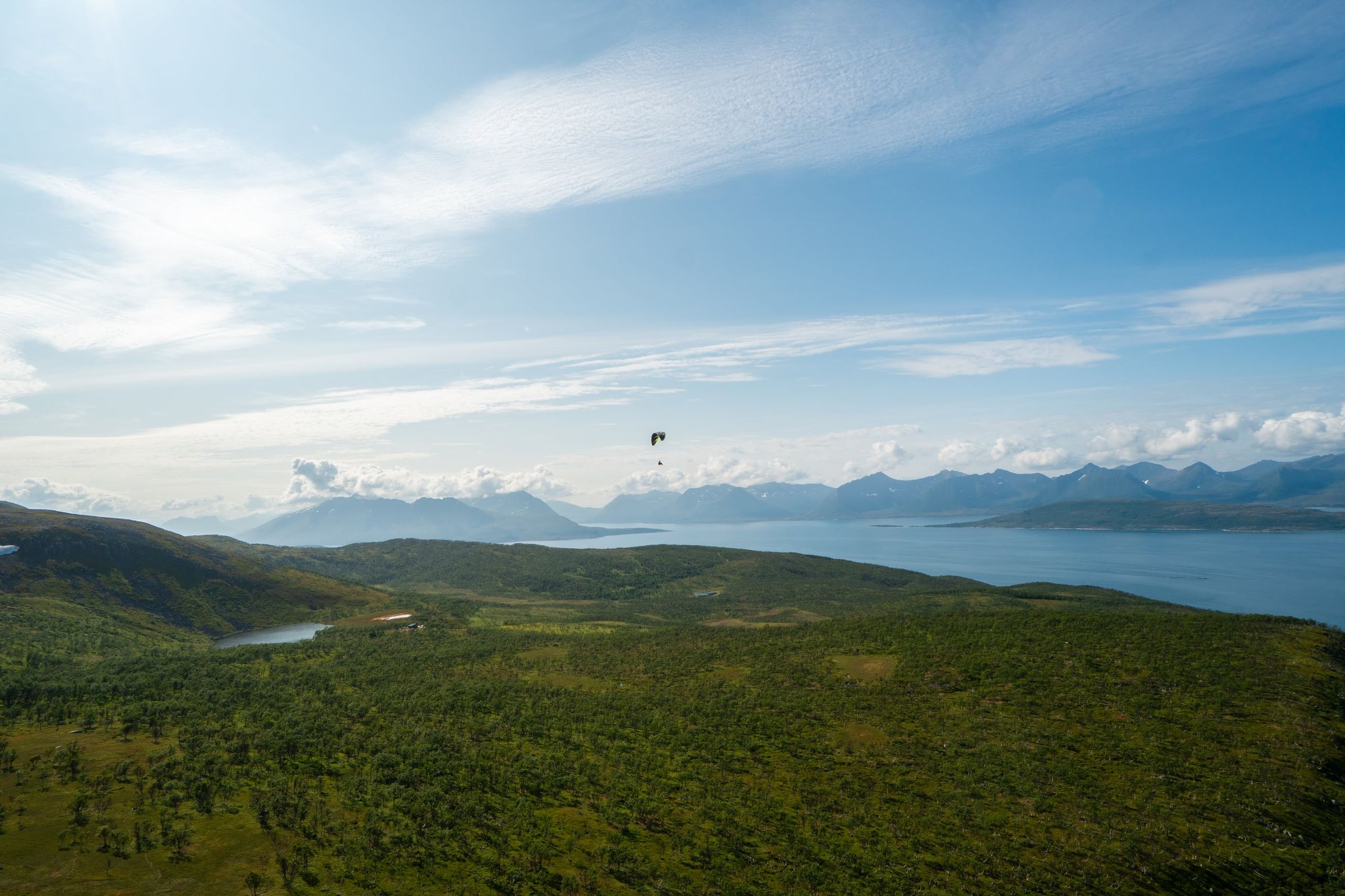
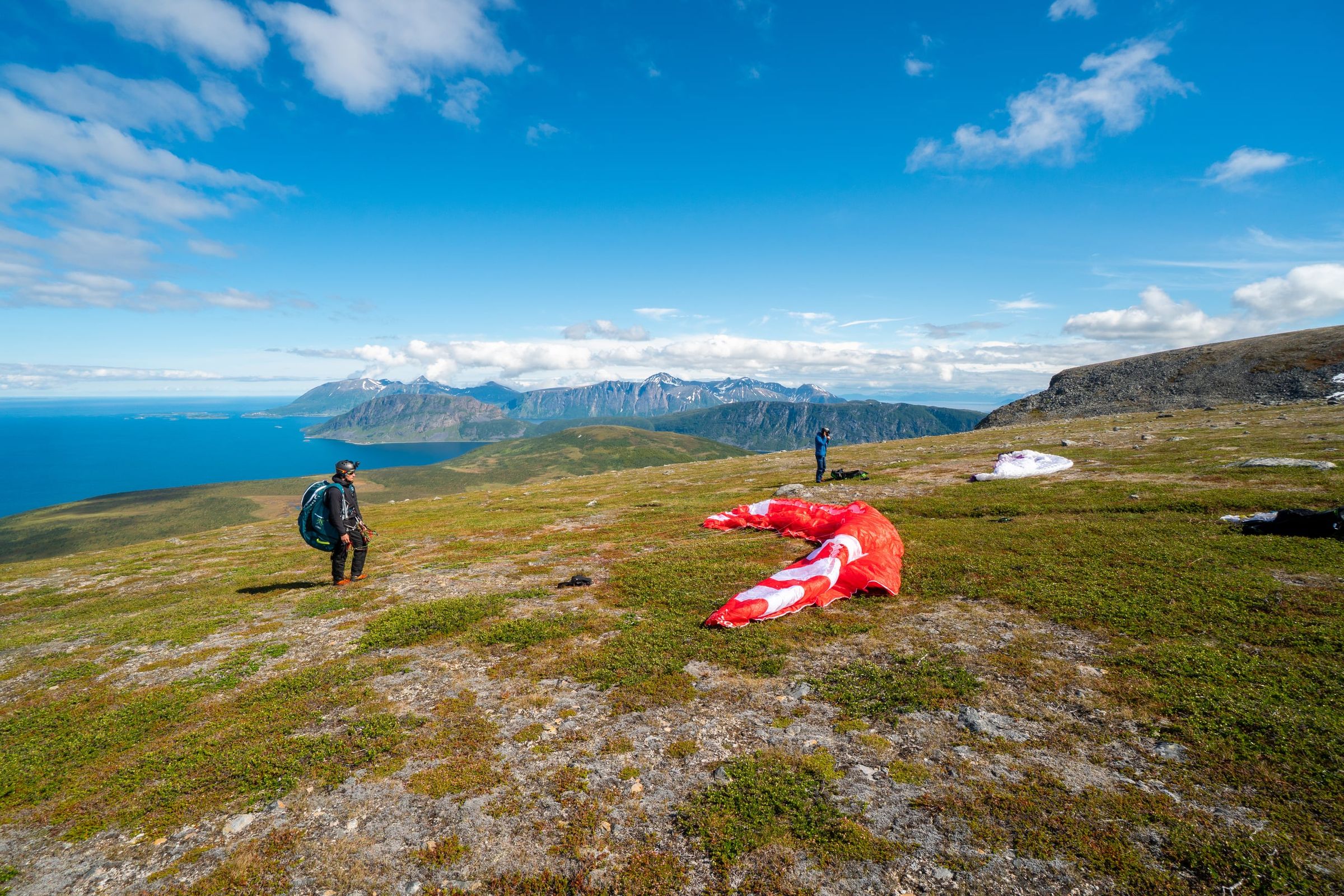
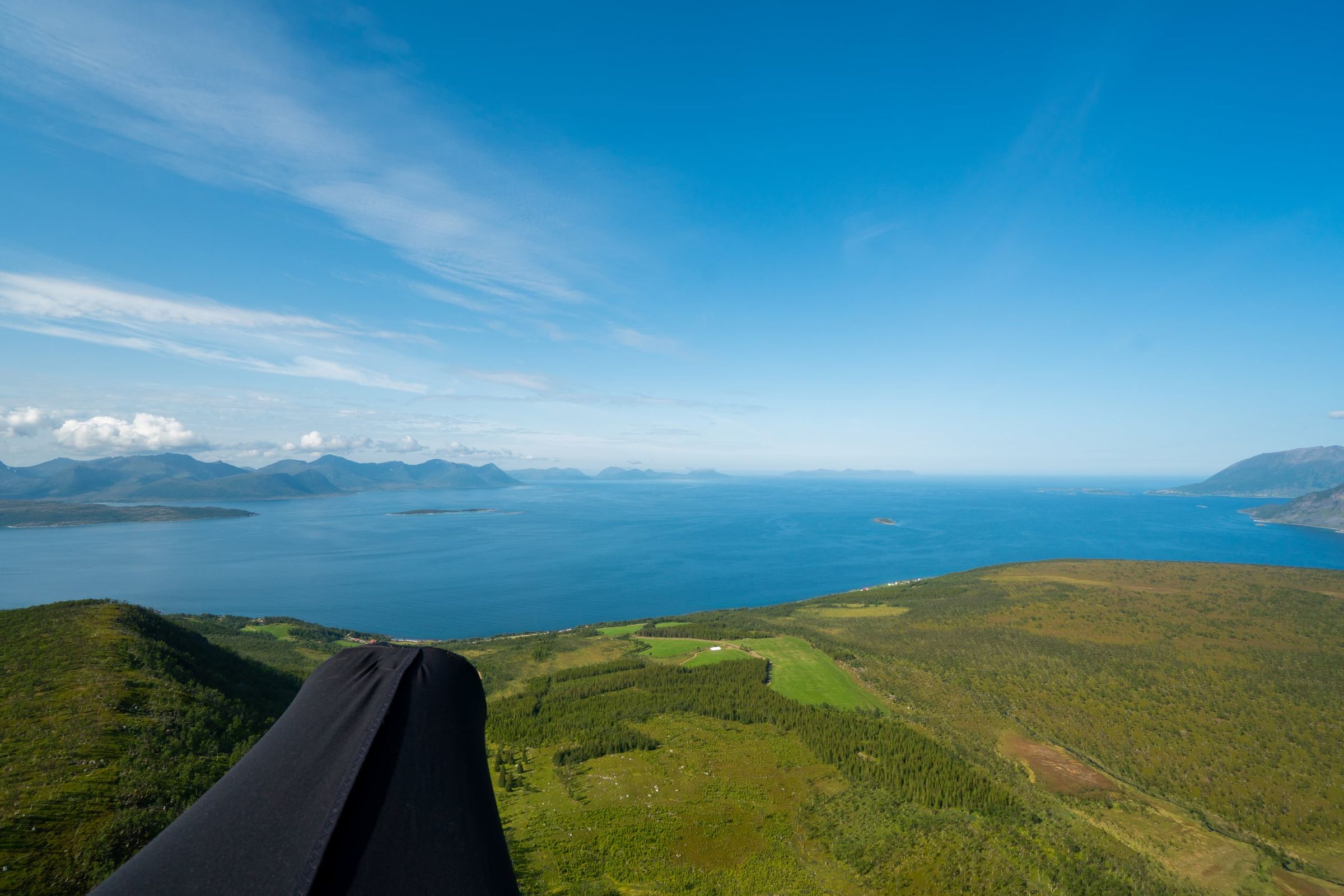
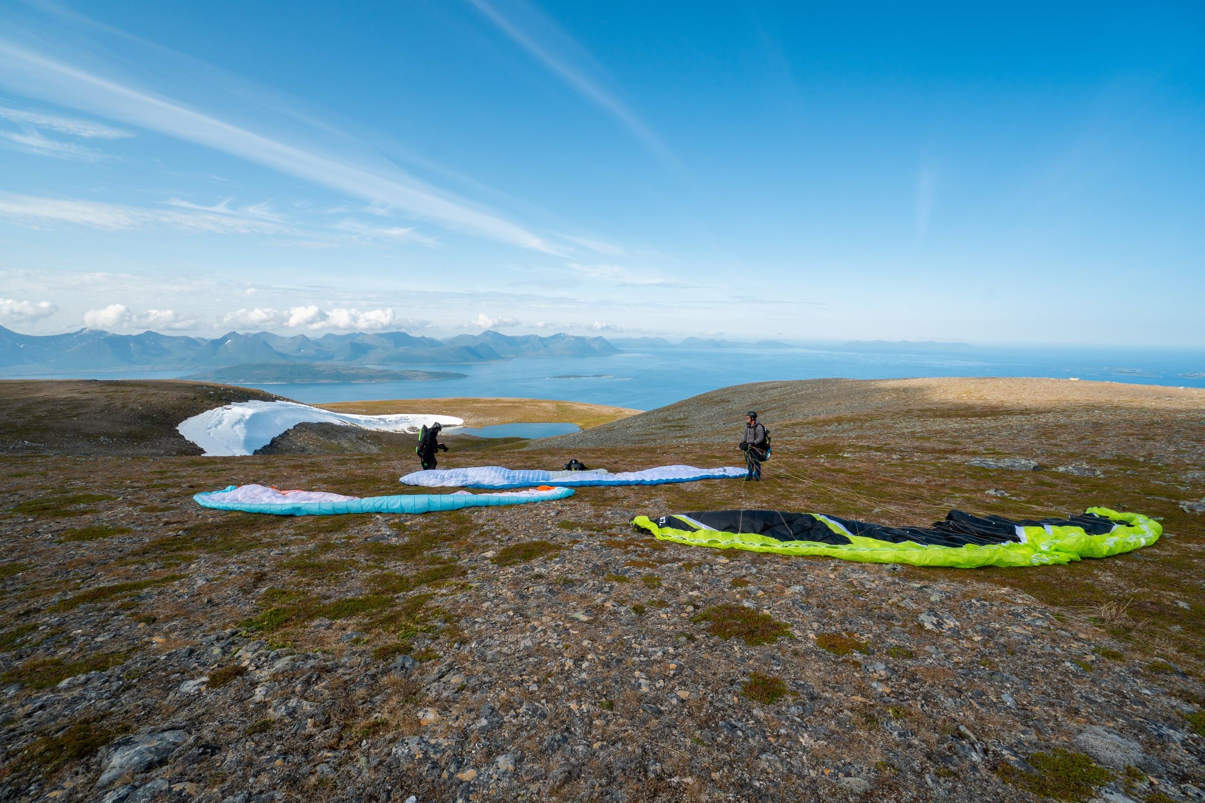
Photo: Kristoffer D. Hofstad · CC BY-NC 4.0