Sollifjellet 563 m asl
One of the club's most used sites. People fly here all year round, for everything from short sled runs to thermals and nice XC flights.
Before you launch
Map
- Launch
- Landing
- SPG landing
- PParking
- Walking route
- Directions the site works for
- 1Point, tap to read
- !Hazard
Points on the map
-
ToppenHovedstarten.
-
Masta og heisenTrakteffekt, se «Før du starter».
-
MyraLanding og parkering.
Access
- Parking
- At the ski centre, right by the landing.
- Way up
- The lift when the ski slope is open, otherwise the walking route.
Elevation profile
Launch
Large launch area on the top, with good ground in winter and somewhat rocky in summer. SPG mainly launch on the left side of the lift and land in a separate landing field in the forest (see «SPG landing» on the map).
- SSEE PGSPG Usually from the top.Alternatively from the mast at the top of the ski centre. The wind funnels there, see «Before you launch».
- NNE PG From the right-hand side of the ski slope. Do not lay out the wing on the ski run.
- NW PG In the ski area, on the road leading down towards the NE launch.Further up the ridge, on the back of the mountain.
- WSW Not suitable, but possible in light wind with a crab angle from the top or in tailwind. Easier with skis in winter.
Landing
Large bog by the parking, so the landing and the car are in the same place.
SPG land in a separate landing field in the forest outside the ski area (grey target on the map). The slope itself is only flown when the ski centre gives permission.
Always check the landing before you fly. If you land in a field, it must be agreed with the farmer, and the grass must not be tall.
Facts
- Main direction N, NE, E, SE, S, NW
- Possible
- Not suitable
- Level
- Category
- Season
- Elevation
- Launch563 m asl Landing213 m asl Difference350 m
- Airspace above launch
-
Fetched automatically from openAIP 24 Sep 2026.
Always check IPPC (opens in a new tab) before you fly. Phone numbers for the towers
Weather

Photos
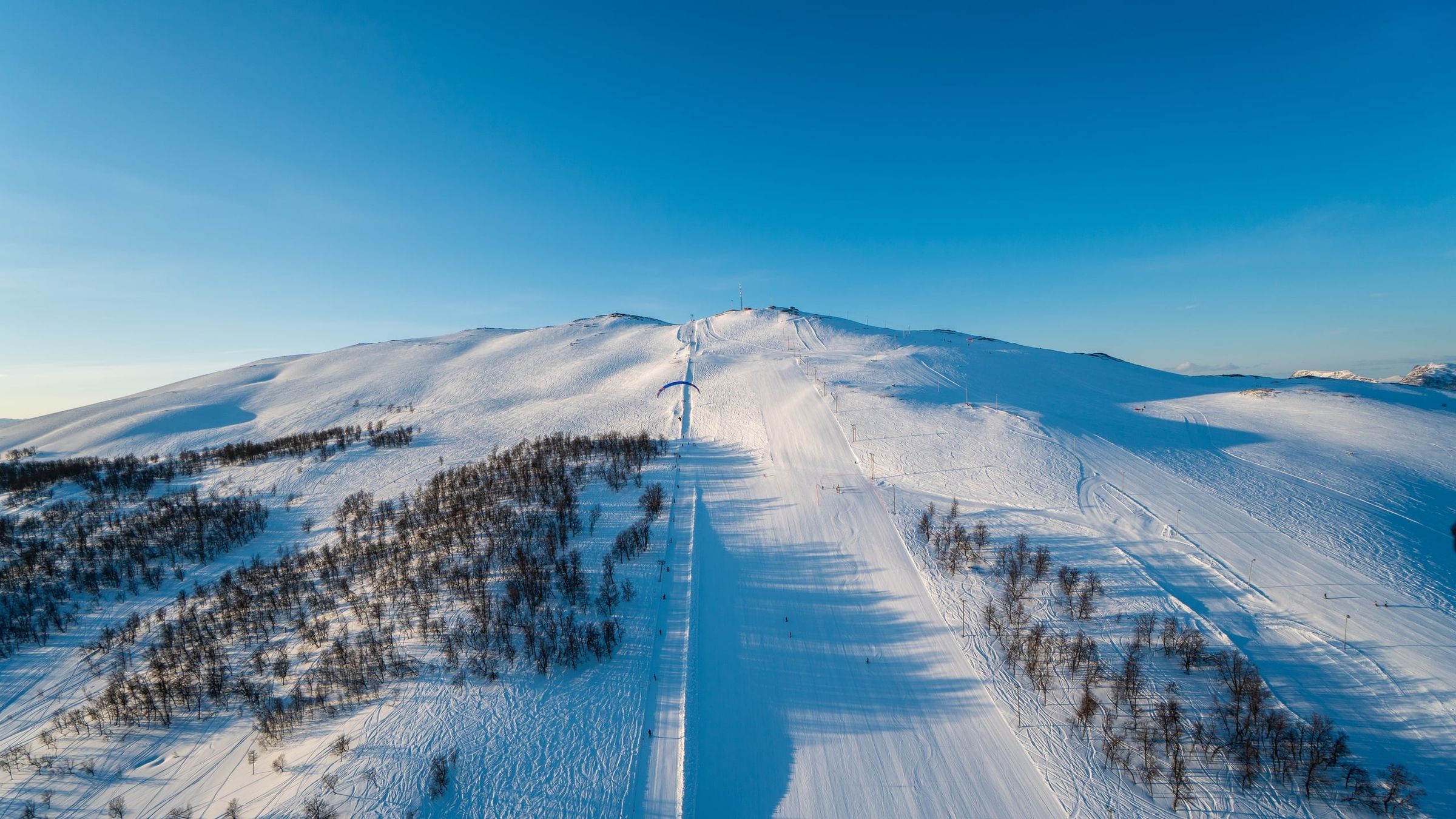
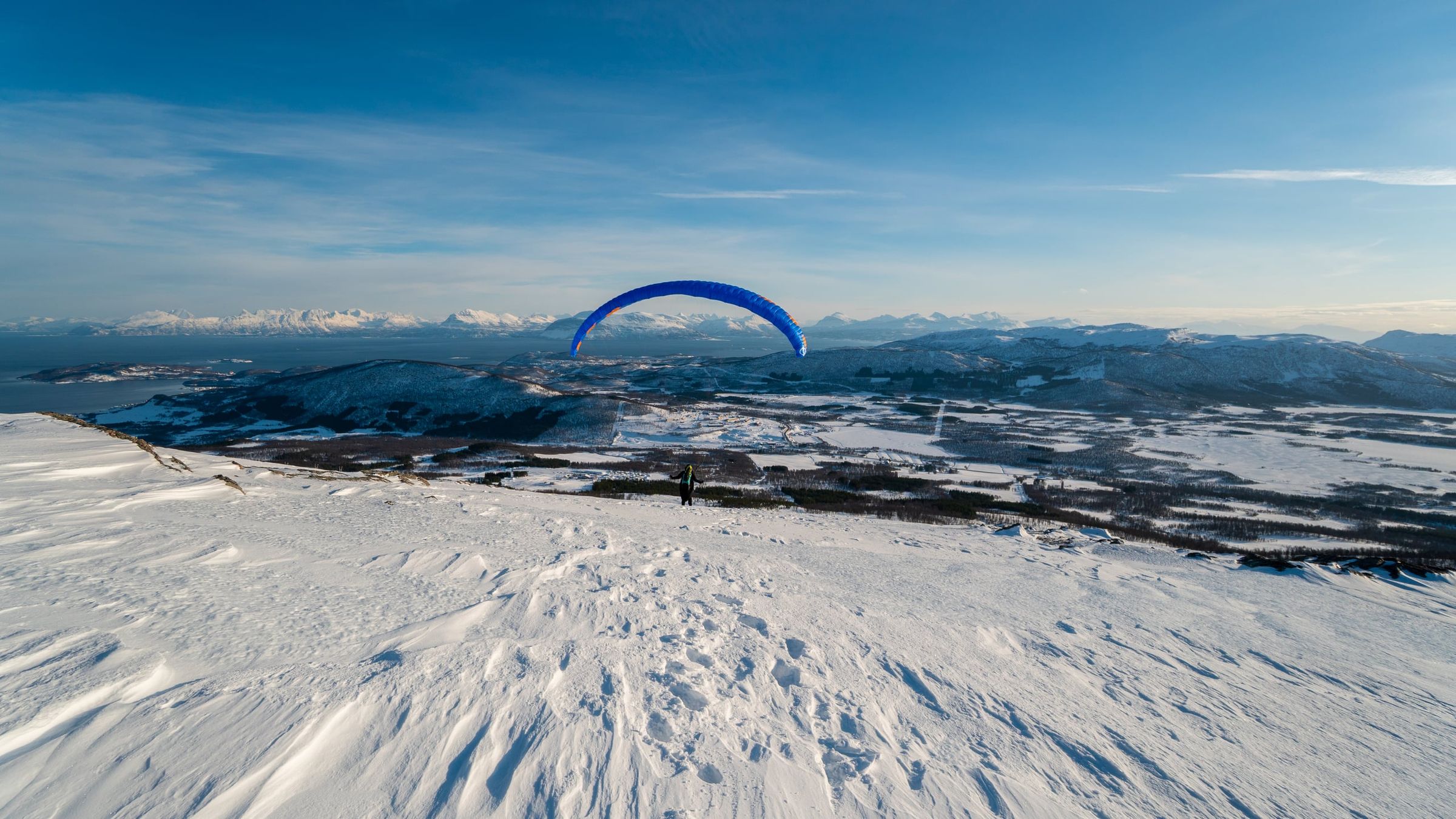
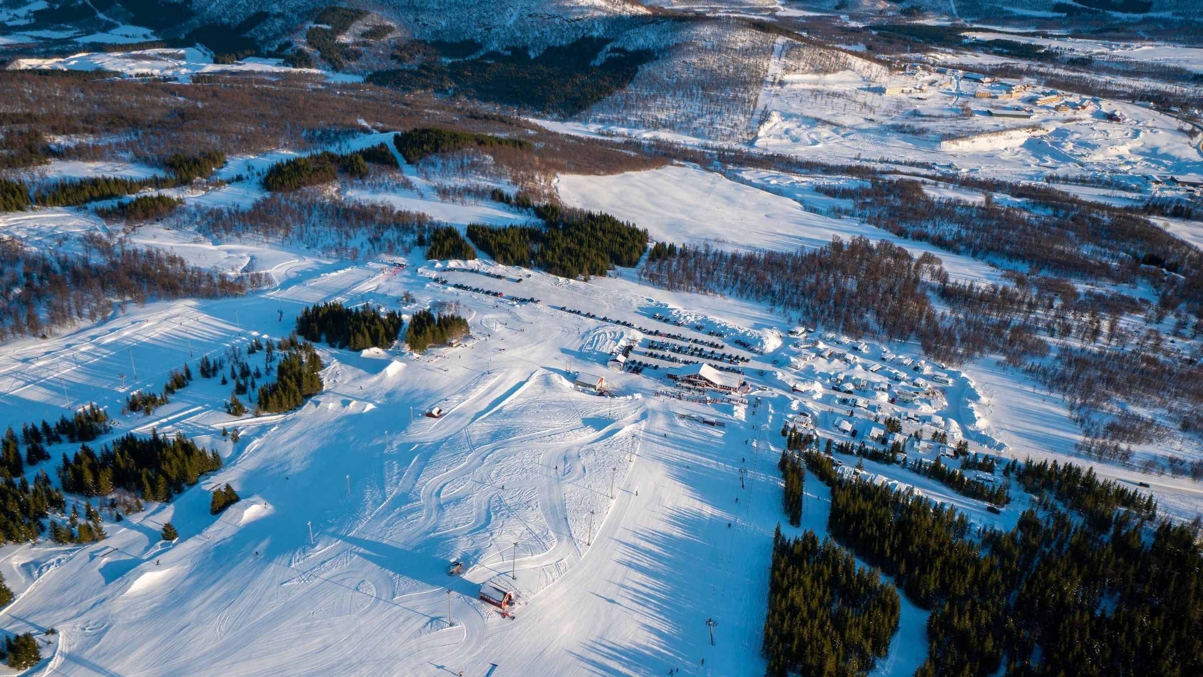
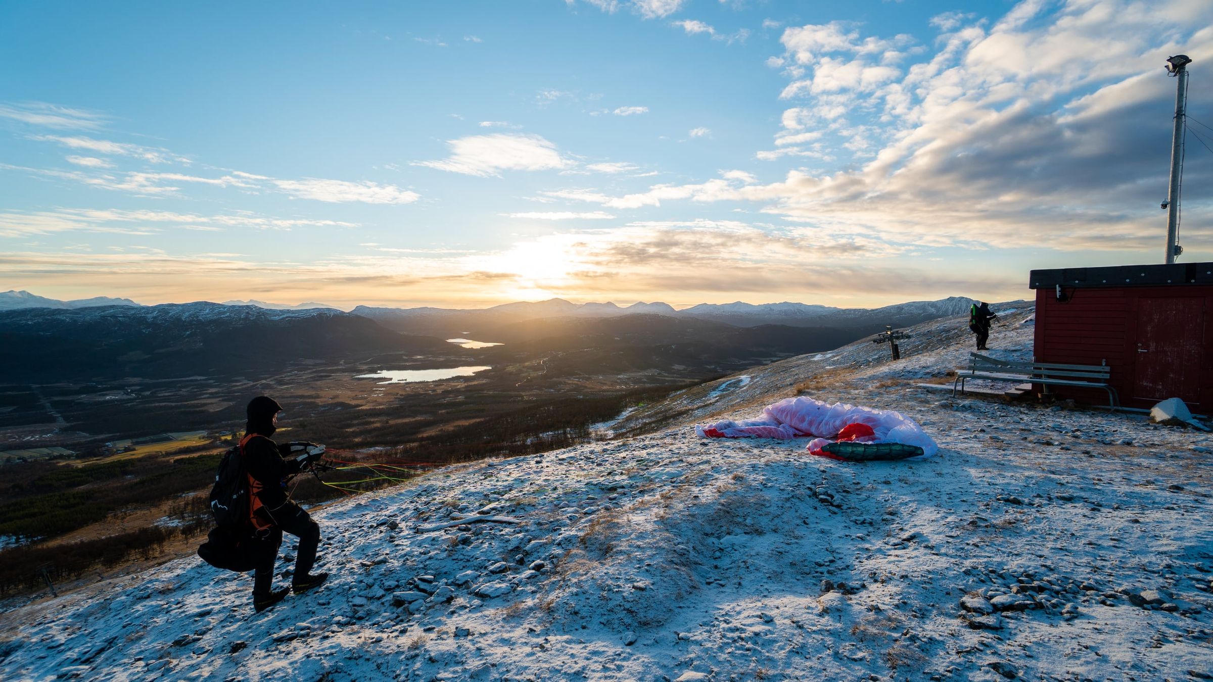
Photo: Kristoffer D. Hofstad · CC BY-NC 4.0