Sætertinden 1089 m asl
High and beautiful, almost 1100 m asl, with many nice landings in Hårvika.
Before you launch
Map
- Launch
- Landing
- PParking
- Walking route
- Directions the site works for
- Possible direction
Access
- Parking
- At the sports ground in Årbogen or the gravel pit in Hårvika.
- Way up
- Follow the ridge up towards the top. Steep for the last 200 vertical metres. Main route: 5.6 km and about 1090 m of climbing. Via the south side: 4.7 km and about 1330 m of climbing.
- Time
- Main route: About 115 min on foot Via the south side: About 110 min on foot
Elevation profile
Launch
Sætertinden is PP3 because it is a high-mountain launch. To the NE and E there are nice launches in winter, which in themselves are easy enough for PP2 and SPG2. In summer there are quite a few rocks there, and the launches are more technical. Several of the other launches are cliff launches (see Before you launch). In winter there are good launch spots in several places. In summer large parts of the top are covered in rocks, so study the map and meteogram before you hike up.
- SW Nice launch area with even ground and slope.
- SEE Requires wind for a reverse launch, or snow early in the season. Alternative launch at about 850 m asl.
- NEE PGSPG Nice launches in winter, which in themselves are easy enough for PP2 and SPG2. In summer there are quite a few rocks, and the launches are more technical.
Landing
Many nice landings in Hårvika.
Always check the landing before you fly. If you land in a field, it must be agreed with the farmer, and the grass must not be tall.
Facts
- Main direction E, SE, S, SW
- Possible NE
- Not suitable
- Level
- Category
- Season
- Elevation
- Launch1089 m asl Landing4 m asl Difference1085 m
- Airspace above launch
-
Evenes CTR (1.5 km away): Notify the tower at Evenes before launching.
Fetched automatically from openAIP 24 Sep 2026.
Always check IPPC (opens in a new tab) before you fly. Phone numbers for the towers
Weather

Photos
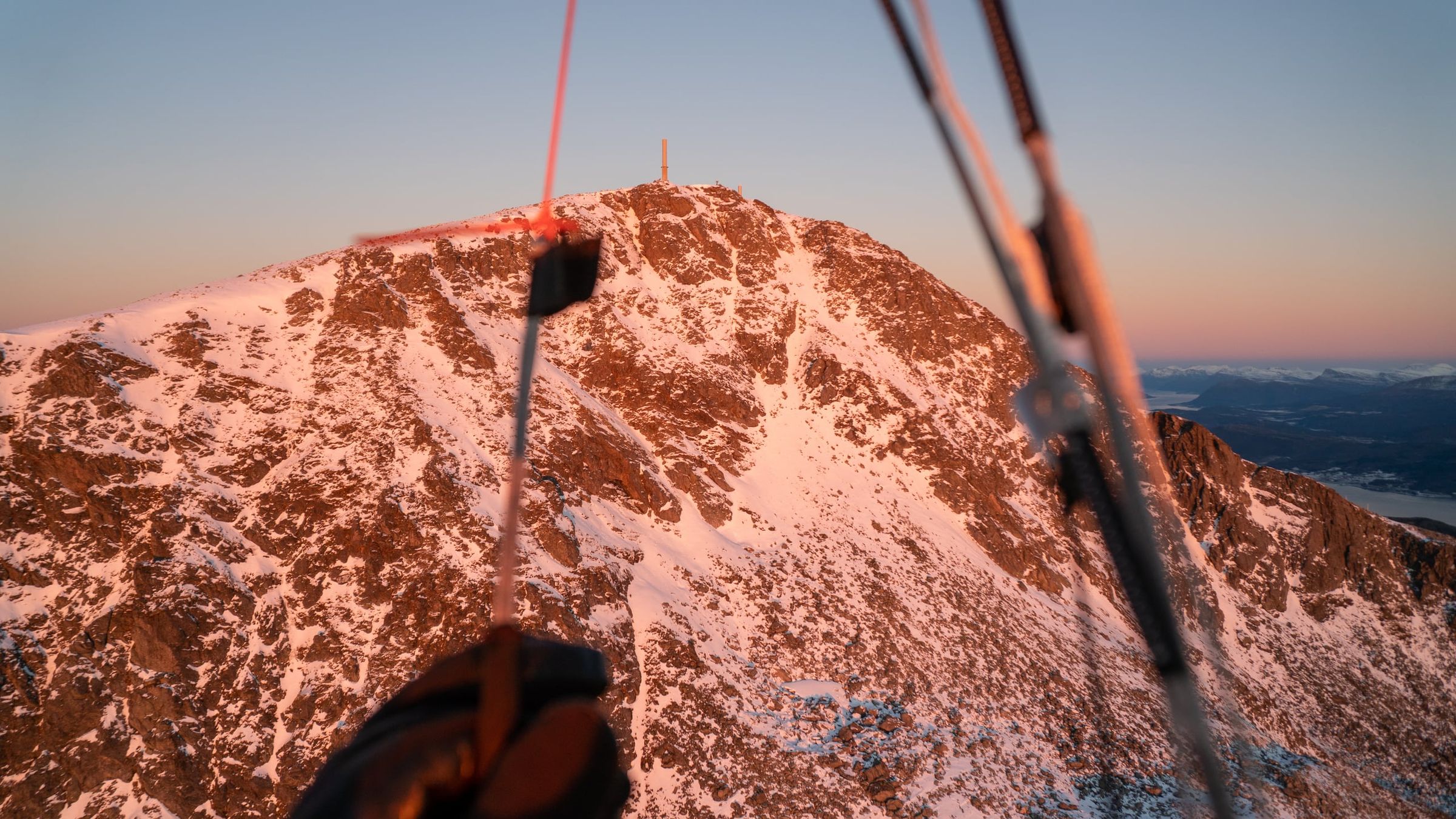
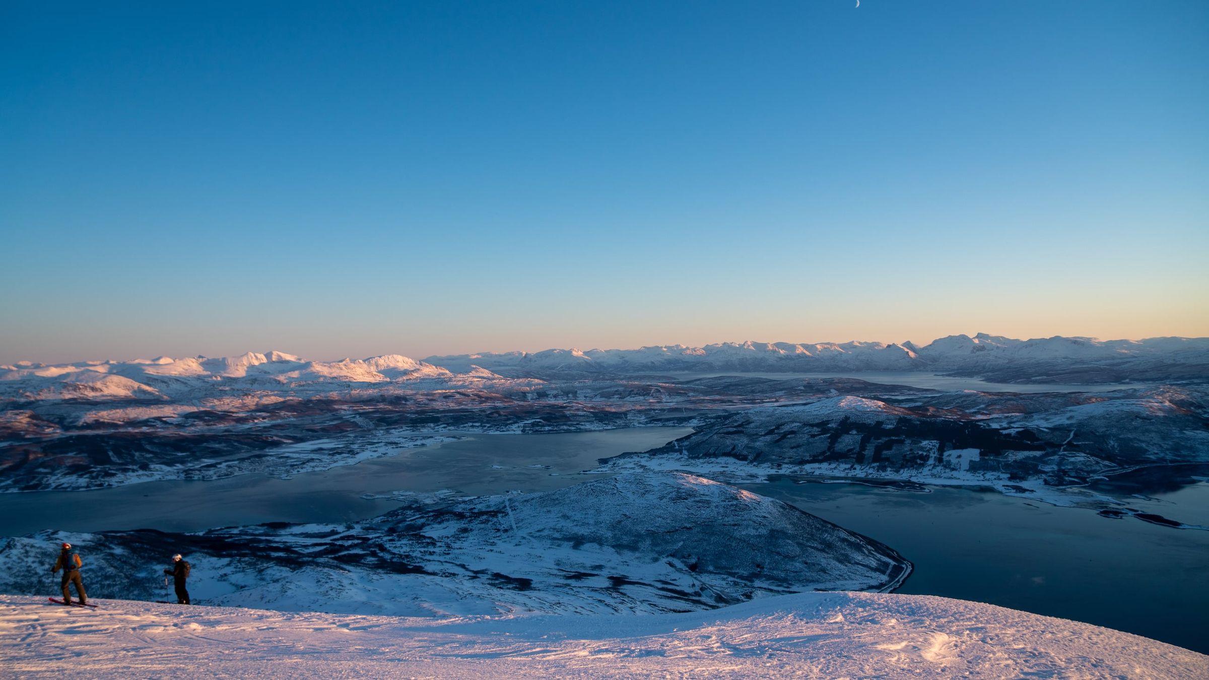
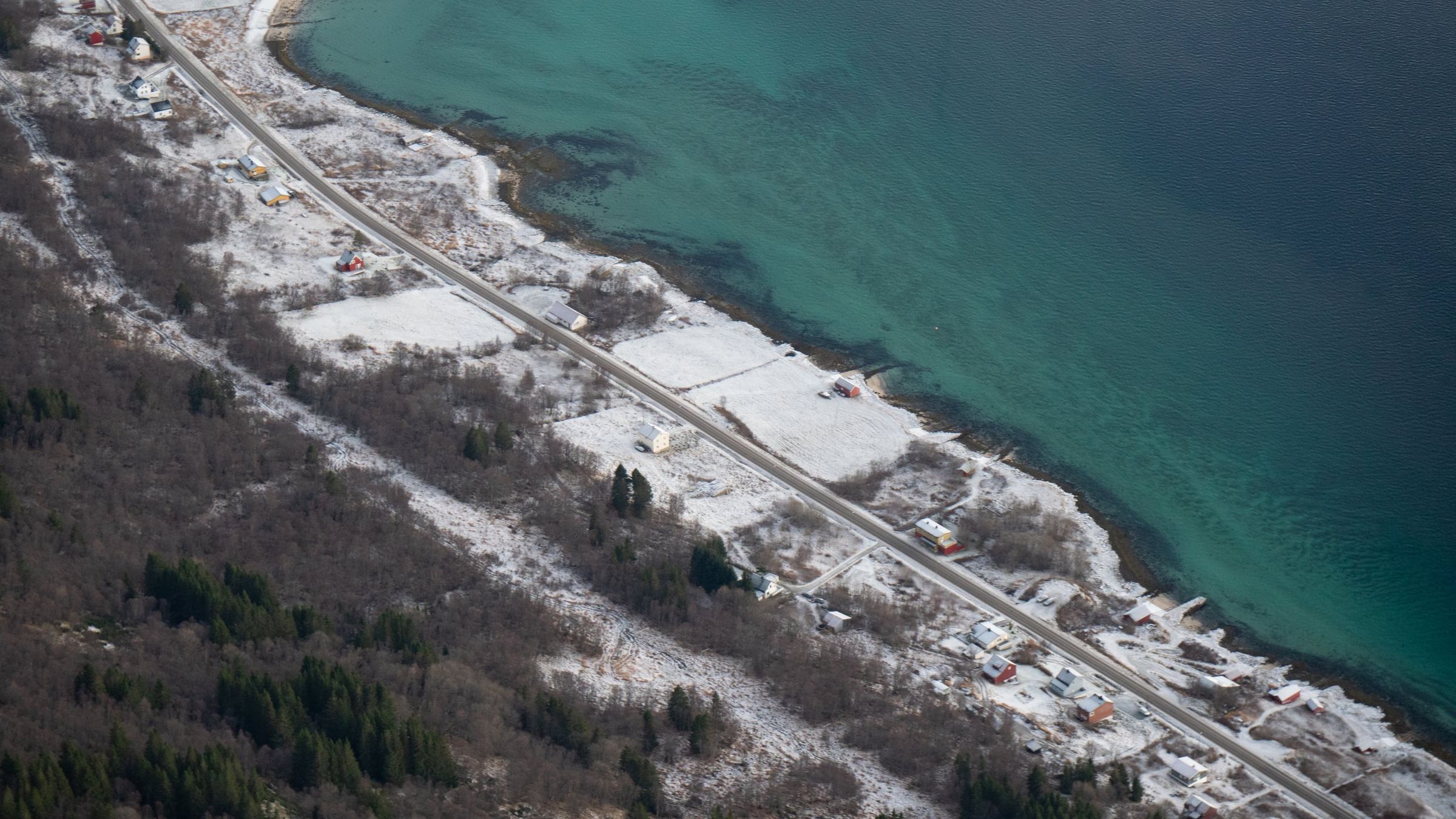
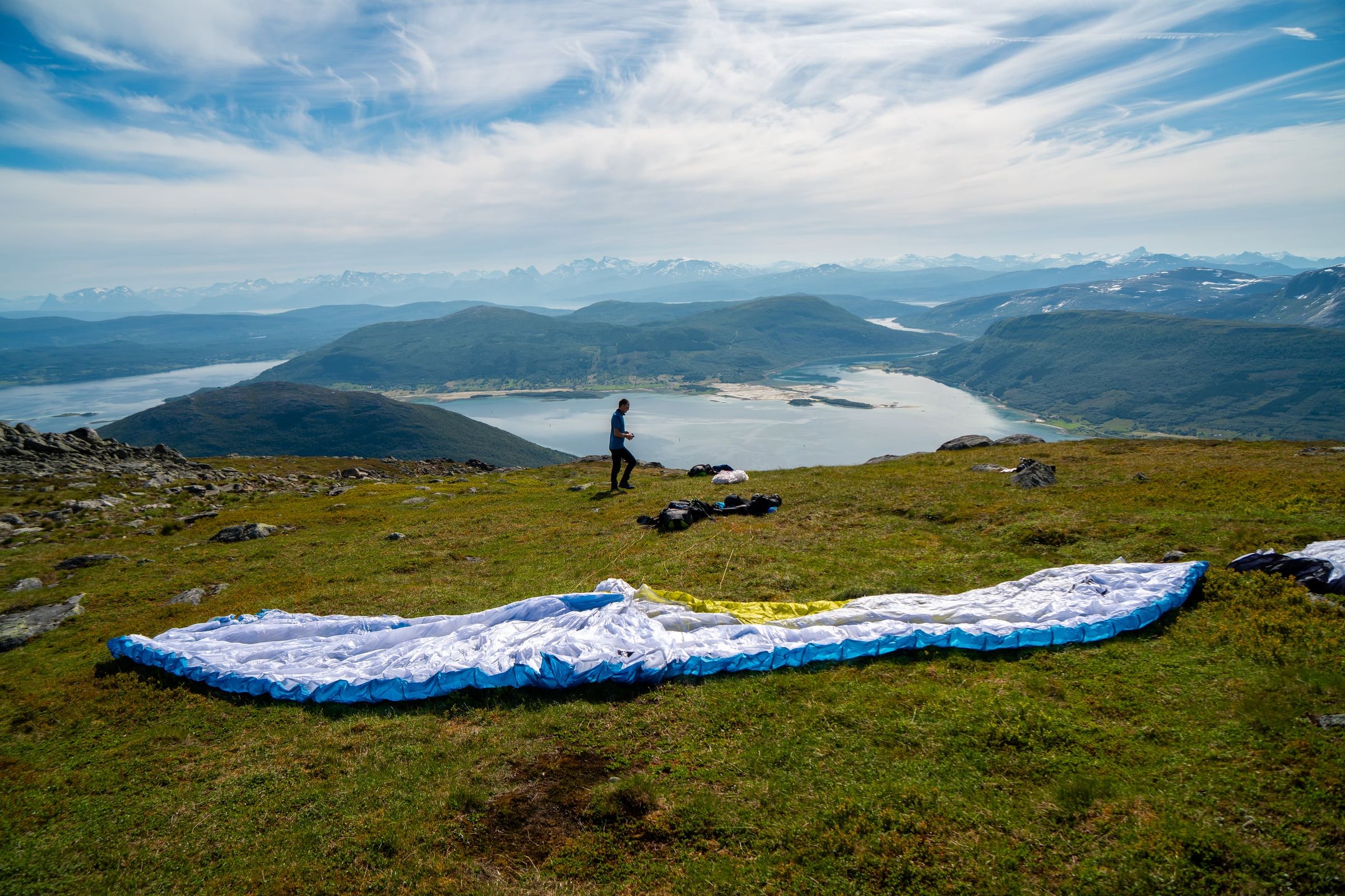
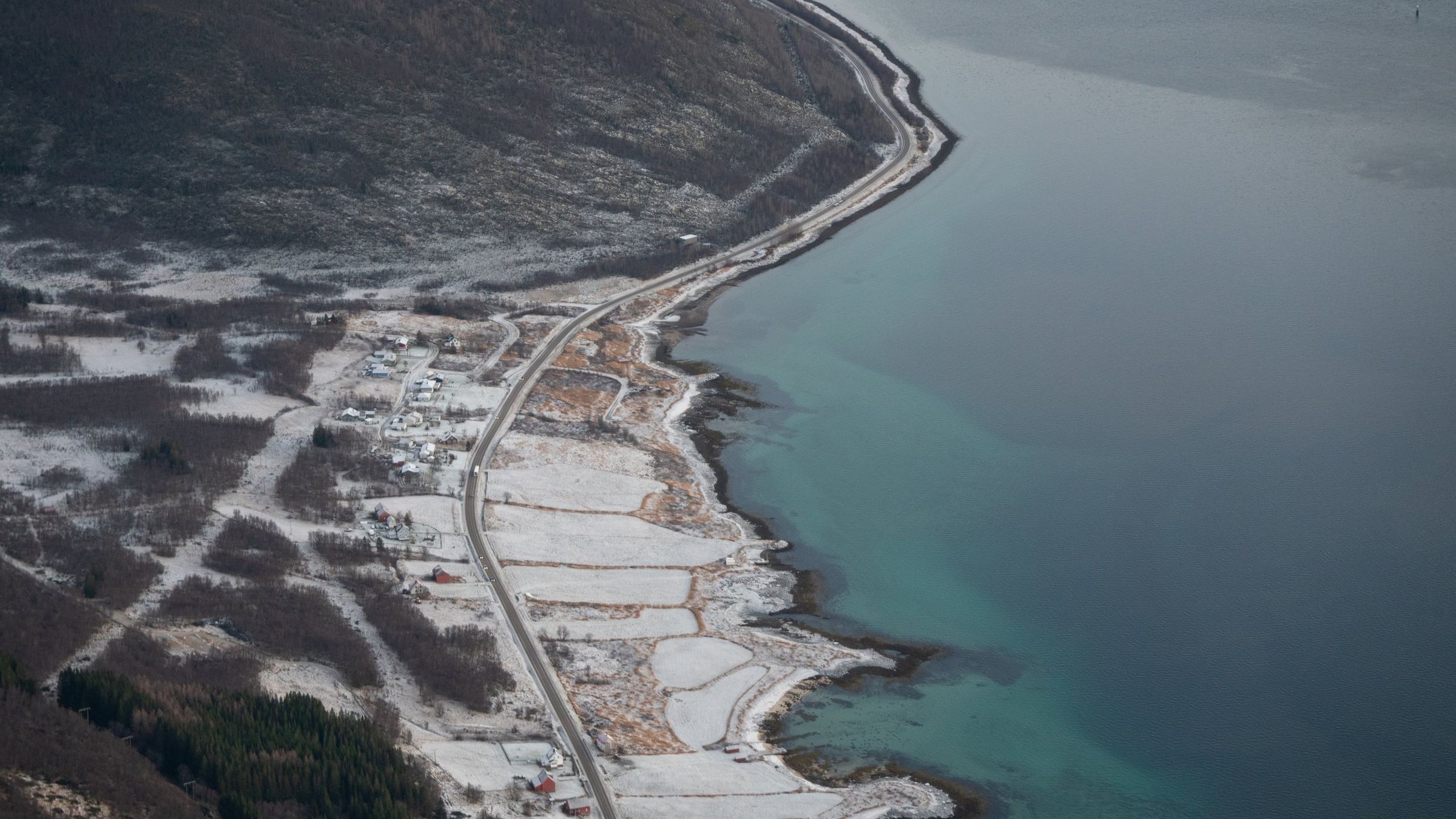
Photo: Kristoffer D. Hofstad · CC BY-NC 4.0