Ryten 510 m asl
At Kvalvika in Flakstad, Lofoten, with landing on the beach.
Before you launch
Map
- Launch
- Landing
- Nordvika/Kvalvika Beach
- Vestervika
- PParking
- Walking route
- Directions the site works for
- Possible direction
Access
- Parking
- At the campsite (fee), and follow the hiking trail from there. Otherwise a suitable spot in the area.
- Way up
- From the parking: 3.4 km and about 510 m of climbing. From the landing at Vestervika: 4.5 km and about 320 m of climbing.
- Time
- From the parking: About 50 min on foot From the landing at Vestervika: About 70 min on foot
Elevation profile
Launch
Easy to find a launch spot on the top, with many options for a good launch. If you choose a cliff launch, it is PP3.
- ESESSWW PG Easy to find a launch spot on the top.
Landing
Land on the beach at Kvalvika, on the bogs south of the beach, at Innersand or in Bergland. There is an aerial cable at Innersand, so watch out for it. Talk to the landowner before landing in Bergland. Alternative landings are Nordvika/Kvalvika Beach and Vestervika. Depending on the wind, some also fly back towards the parking.
From the landing at Vestervika, walk back to the trail you came up and follow it down to the parking.
Always check the landing before you fly. If you land in a field, it must be agreed with the farmer, and the grass must not be tall.
Facts
- Main direction E, SE
- Possible S, SW, W
- Not suitable
- Level
- Category
- Elevation
- Launch510 m asl Landing0 m asl Difference510 m
- Airspace above launch
-
No fixed airspace above the launch.
Fetched automatically from openAIP 6 Oct 2026.
Always check IPPC (opens in a new tab) before you fly. Phone numbers for the towers
Weather

Photos
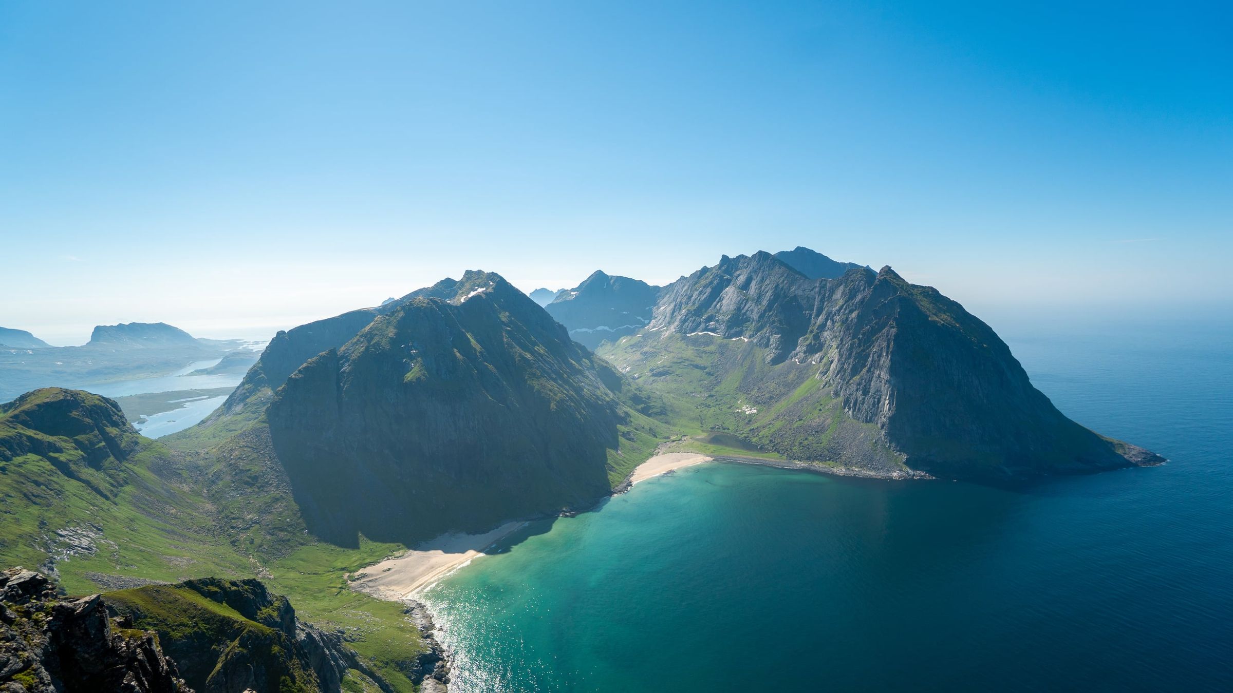
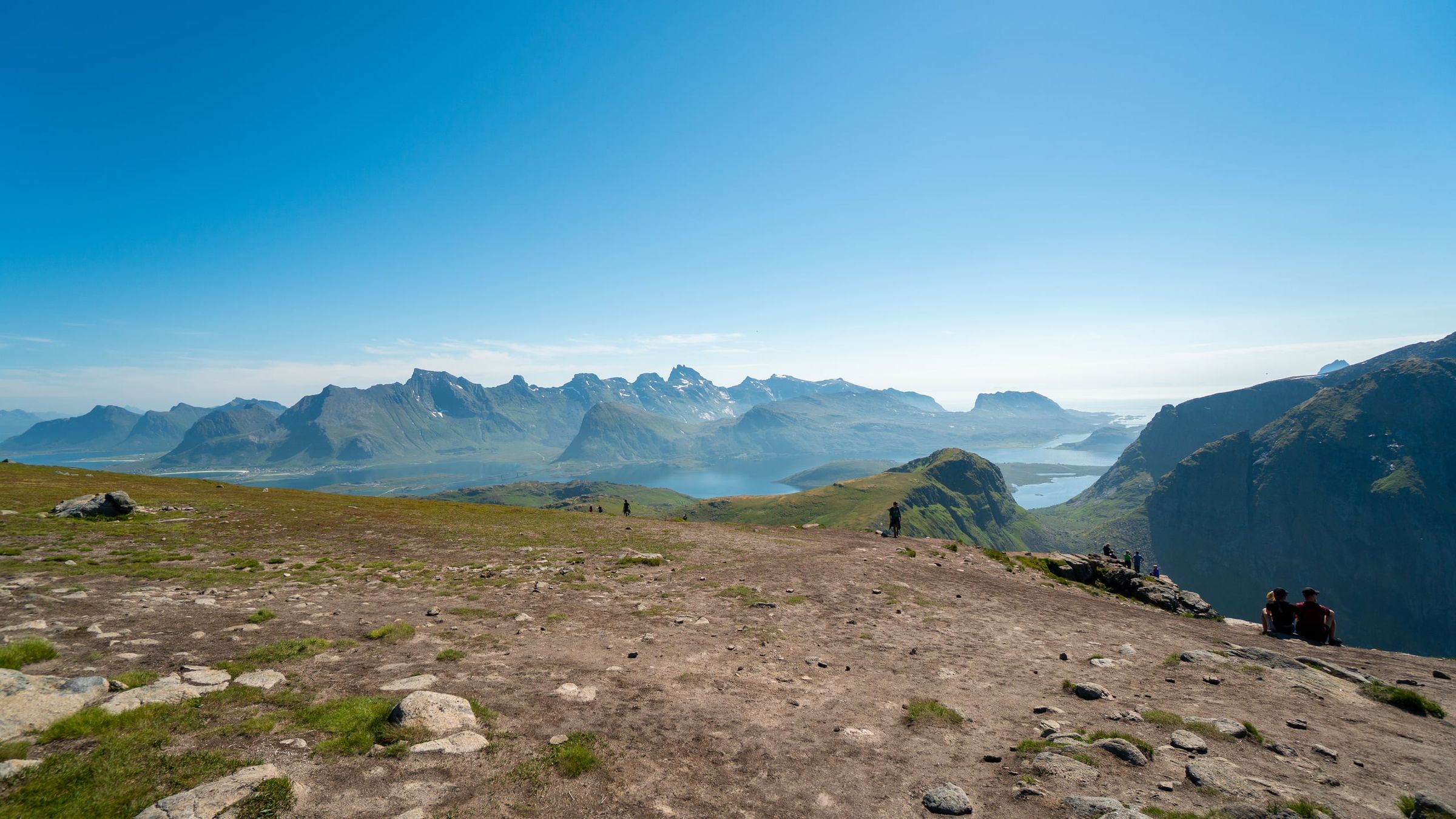
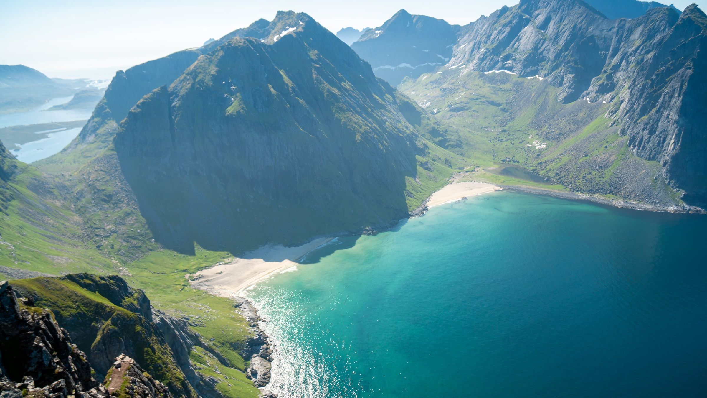
Photo: Kristoffer D. Hofstad · CC BY-NC 4.0