Reinebringen 484 m asl
Well-known mountain above Reine in Lofoten, with a short, steep hike up the steps.
Before you launch
Map
- Launch
- Landing
- Reine ytre havn
- PParking
- Walking route
- Directions the site works for
- Possible direction
Access
- Parking
- Find a suitable spot in Reine, for example at the landing, and walk from there.
- Way up
- The steps from Reine up towards the top.
Elevation profile
Launch
The launch is on heather in steep terrain just left of the trail, seen from below. There is a cliff at the end of the heather, so you must have full control of your launch. Wind in makes the launch much easier. A technical launch because of the cliff, for PP3–PP4 or SPG4 with good launch technique.
Reinebringen is outside the club's area, so HPGT does not manage the site.
- NNEESES PGSPG Launch on heather in steep terrain just left of the trail (seen from below).
Landing
Landing on the football pitch in Reine. Check the pitch before you fly. The goals may need to be moved to land safely.
Alternative landing at Reine ytre havn (the outer harbour). Check it too before you fly, so you can see any obstacles. There is also a landing about 1 km south along the road.
Always check the landing before you fly. If you land in a field, it must be agreed with the farmer, and the grass must not be tall.
Facts
- Main direction E, SE, S
- Possible N, NE
- Not suitable
- Level
- Category
- Elevation
- Launch484 m asl Landing5 m asl Difference479 m
- Airspace above launch
-
Fetched automatically from openAIP 6 Oct 2026.
Always check IPPC (opens in a new tab) before you fly. Phone numbers for the towers
Weather

Photos

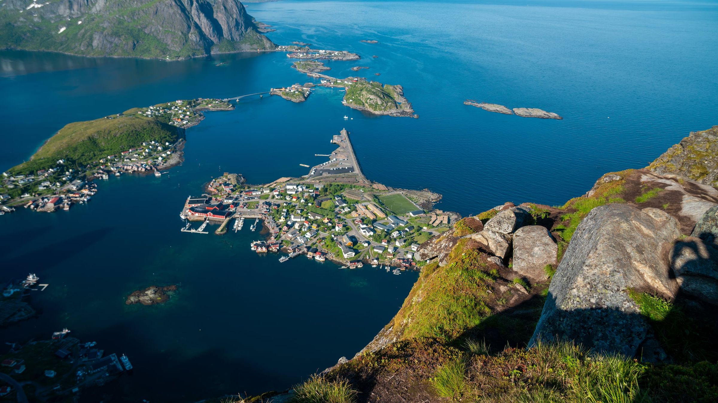
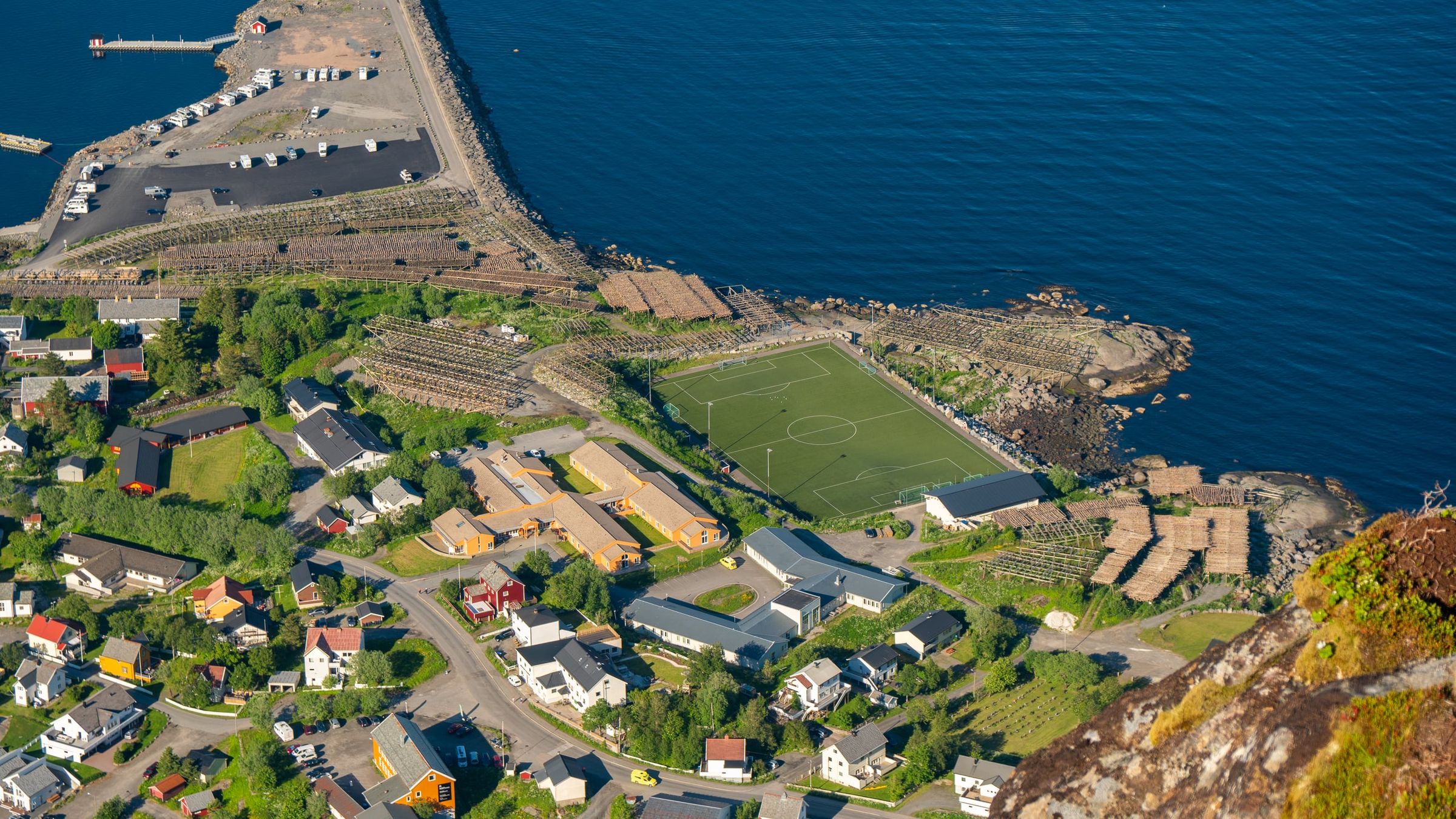
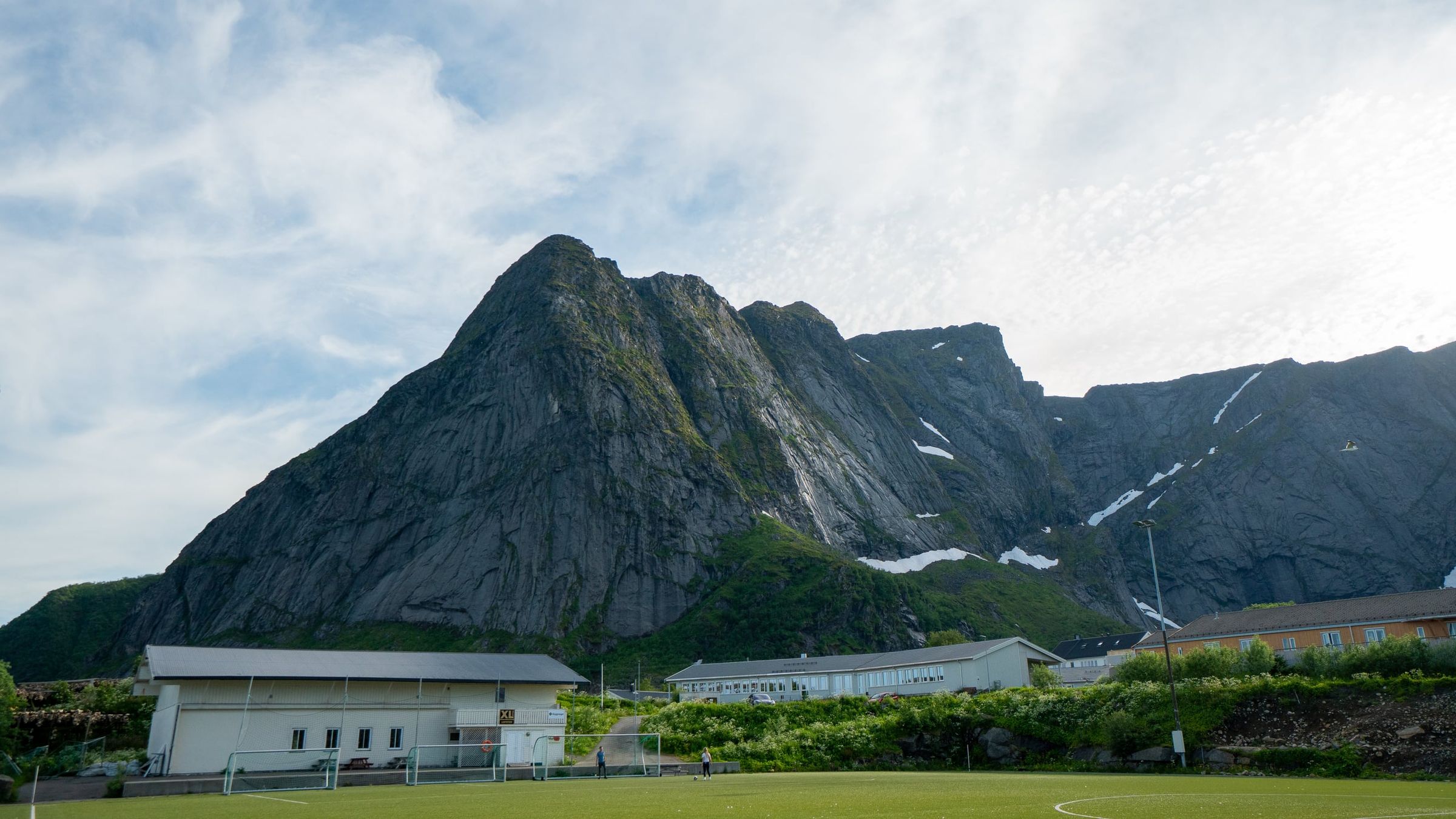
Photo: Kristoffer D. Hofstad · CC BY-NC 4.0