Lundenesgalten 780 m asl
Called Storgalten on the Kartverket map. Located on Grytøya just north of Harstad.
Before you launch
No particular hazards registered for this site.
Map
- Launch
- Landing
- PParking
- Walking route
- Directions the site works for
Access
3.7 kmWalking route
740 mClimb
55 minOn foot
- Parking
- At Lundenes cemetery.
- Way up
- Follow the walking route on the map.
Elevation profile
Distance 0 km
Elevation
Grade
Steeper than 25%
Launch
The launch works for both PG and SPG.
Landing
Both PG and SPG land on the field below Lundenesgalten. It is also possible to fly further down towards the parking and land in a suitable field or on a road, but check the landing first.
Always check the landing before you fly. If you land in a field, it must be agreed with the farmer, and the grass must not be tall.
Facts
- Main direction E, SE
- Possible
- Not suitable
- Level
- Category
- Elevation
- Launch780 m asl Landing194 m asl Difference586 m
- Airspace above launch
-
Fetched automatically from openAIP 6 Oct 2026.
Always check IPPC (opens in a new tab) before you fly. Phone numbers for the towers
Weather

Photos
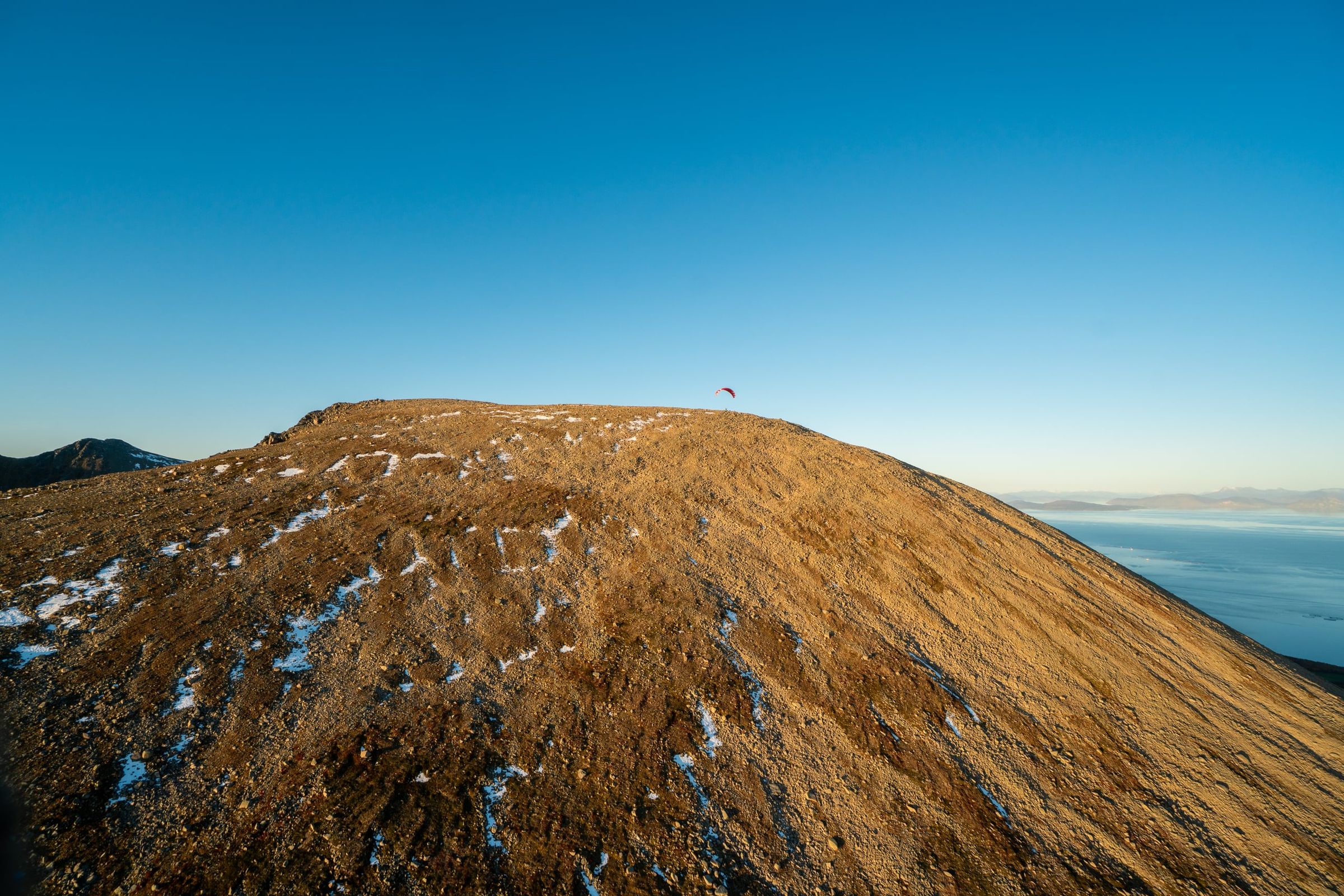
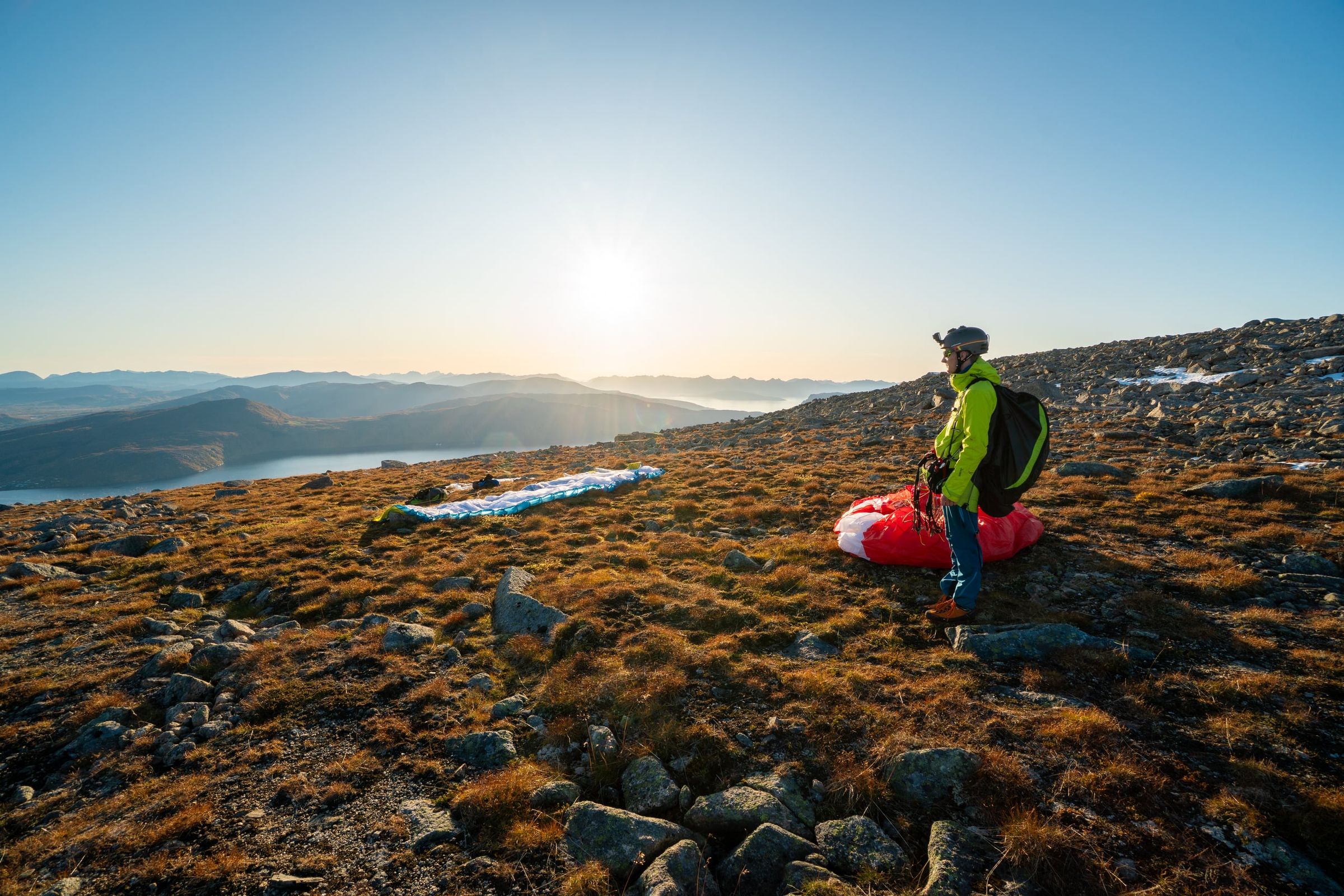
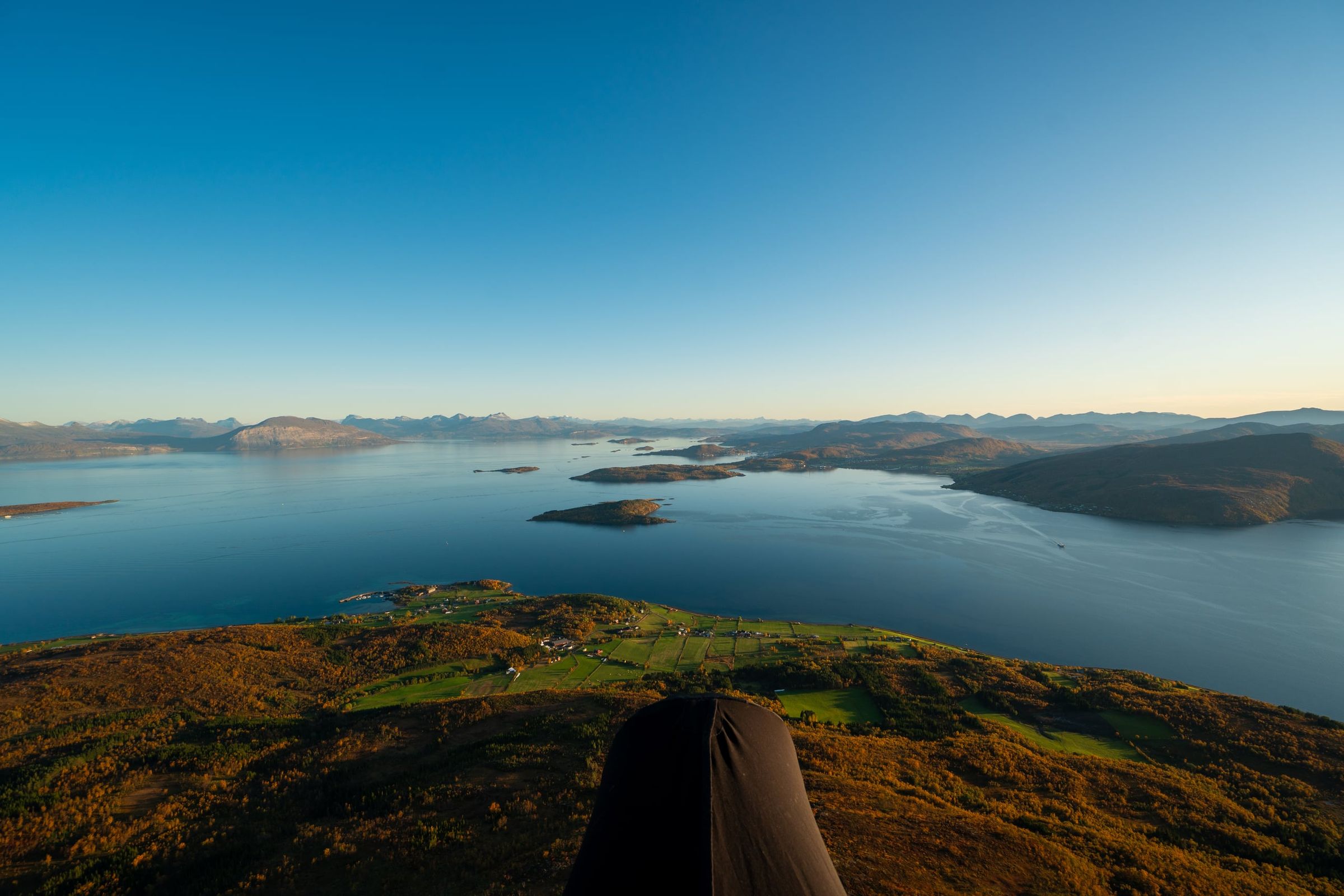
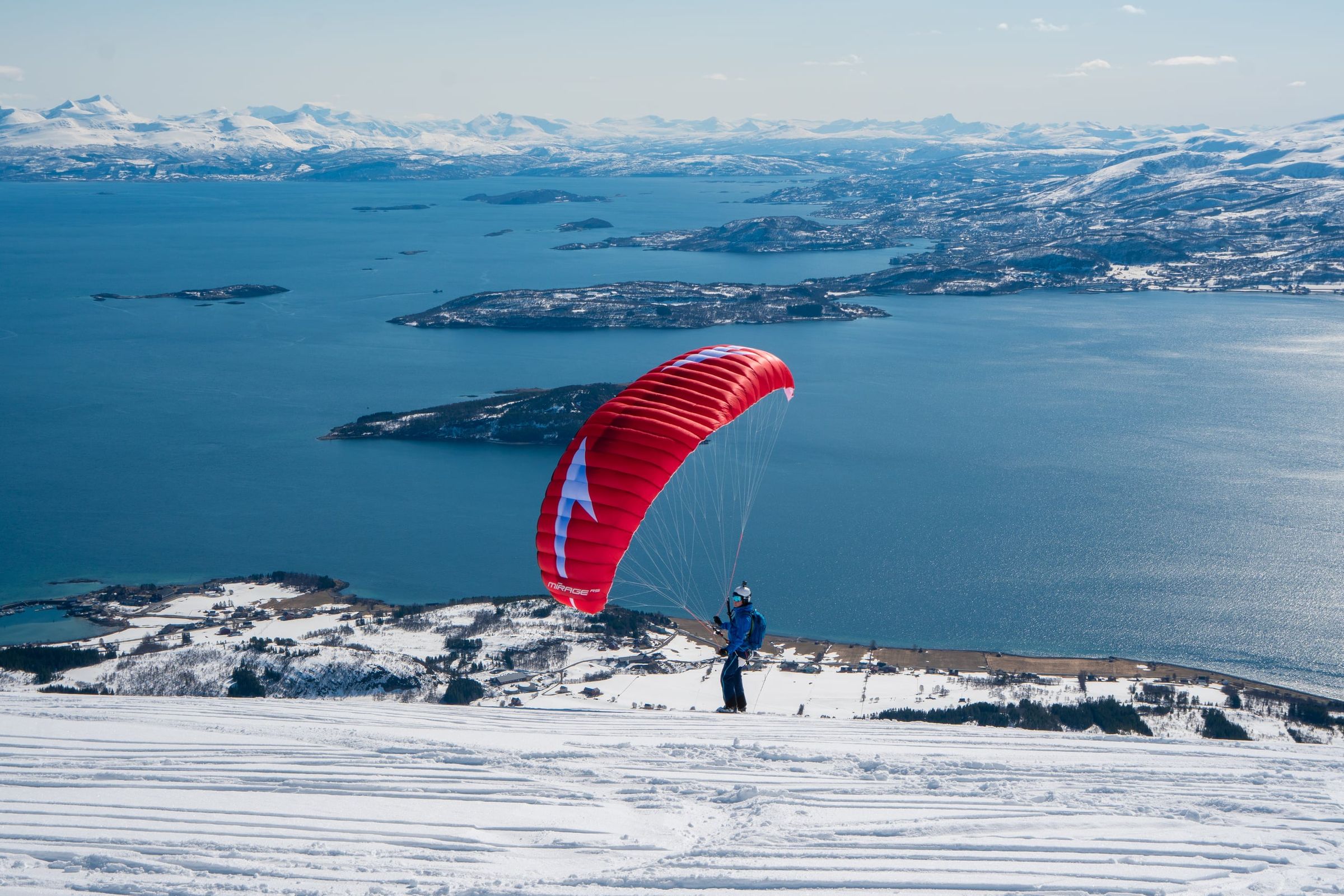
Photo: Kristoffer D. Hofstad · CC BY-NC 4.0