Kilhusåsen 280 m asl
Perhaps the club's very best site measured in flying hours. Easily accessible for everyone.
Before you launch
Horses at the landing
The farmer asks to be notified before flying, so the horses can be kept inside. Avoid the landing area up on the bog.
Map
- Launch
- Landing
- PParking
- Walking route
- Directions the site works for
Access
1.1 kmWalking route
160 mClimb
20 minOn foot
- Parking
- At Kilhus community hall.
- Way up
- The road up towards the top. Up where the first steep slope levels out, turn right around the sheep fence and follow the trail onwards.
Elevation profile
Distance 0 km
Elevation
Grade
Steeper than 25%
Launch
Two launches. The lower one is the best and most used, but is 75 m lower than the top. The upper one is for days with little wind.
- WNW NW is ideal. Ridge soaring from the lower launch requires at least 3 m/s.
Landing
On the airstrip, or in front of the hill.
Always check the landing before you fly. If you land in a field, it must be agreed with the farmer, and the grass must not be tall.
Facts
- Main direction W, NW
- Possible
- Not suitable
- Level
- Category
- Season
- Elevation
- Launch280 m asl Landing99 m asl Difference181 m
- Airspace above launch
-
Fetched automatically from openAIP 24 Sep 2026.
Always check IPPC (opens in a new tab) before you fly. Phone numbers for the towers
Weather

Photos
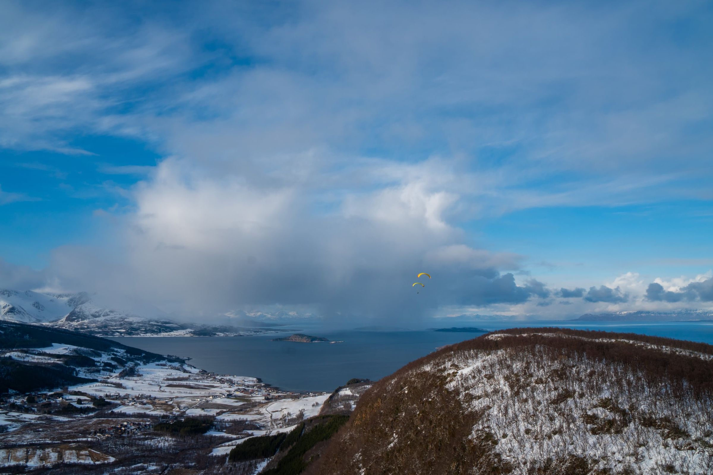
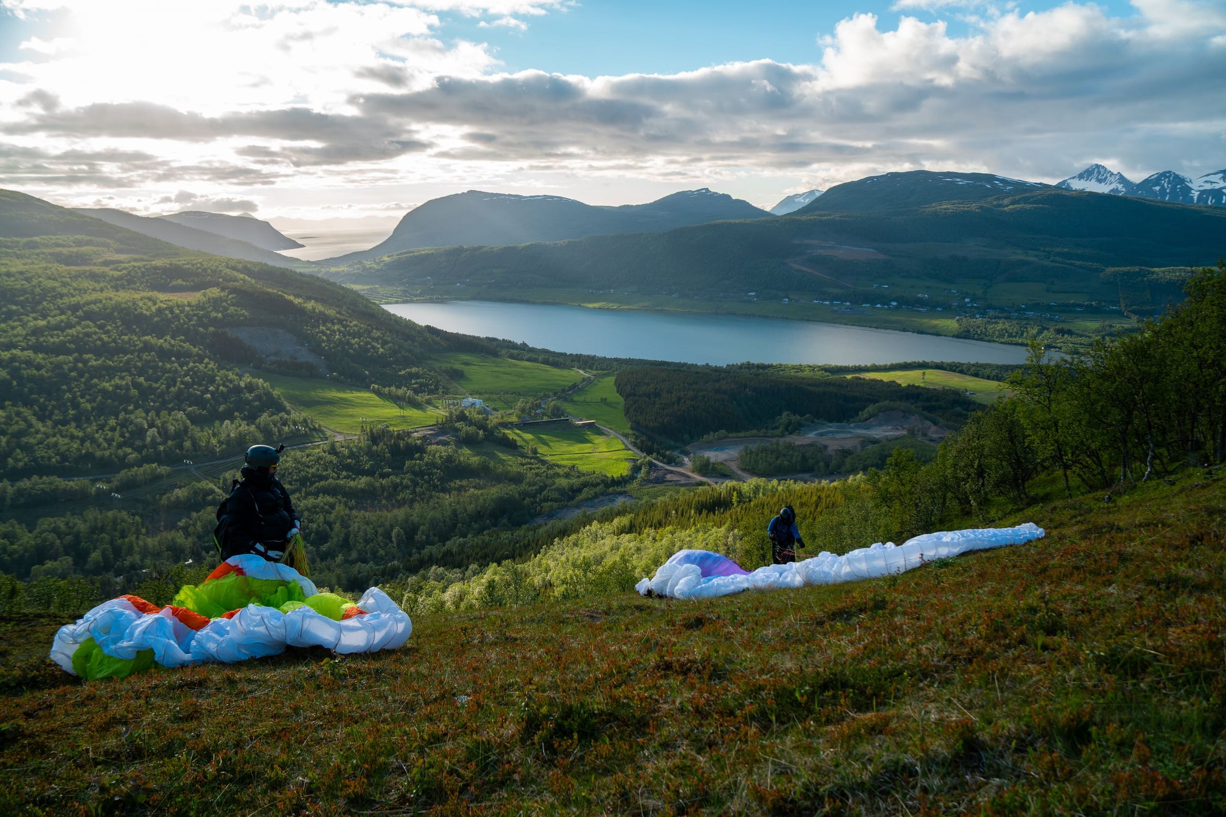
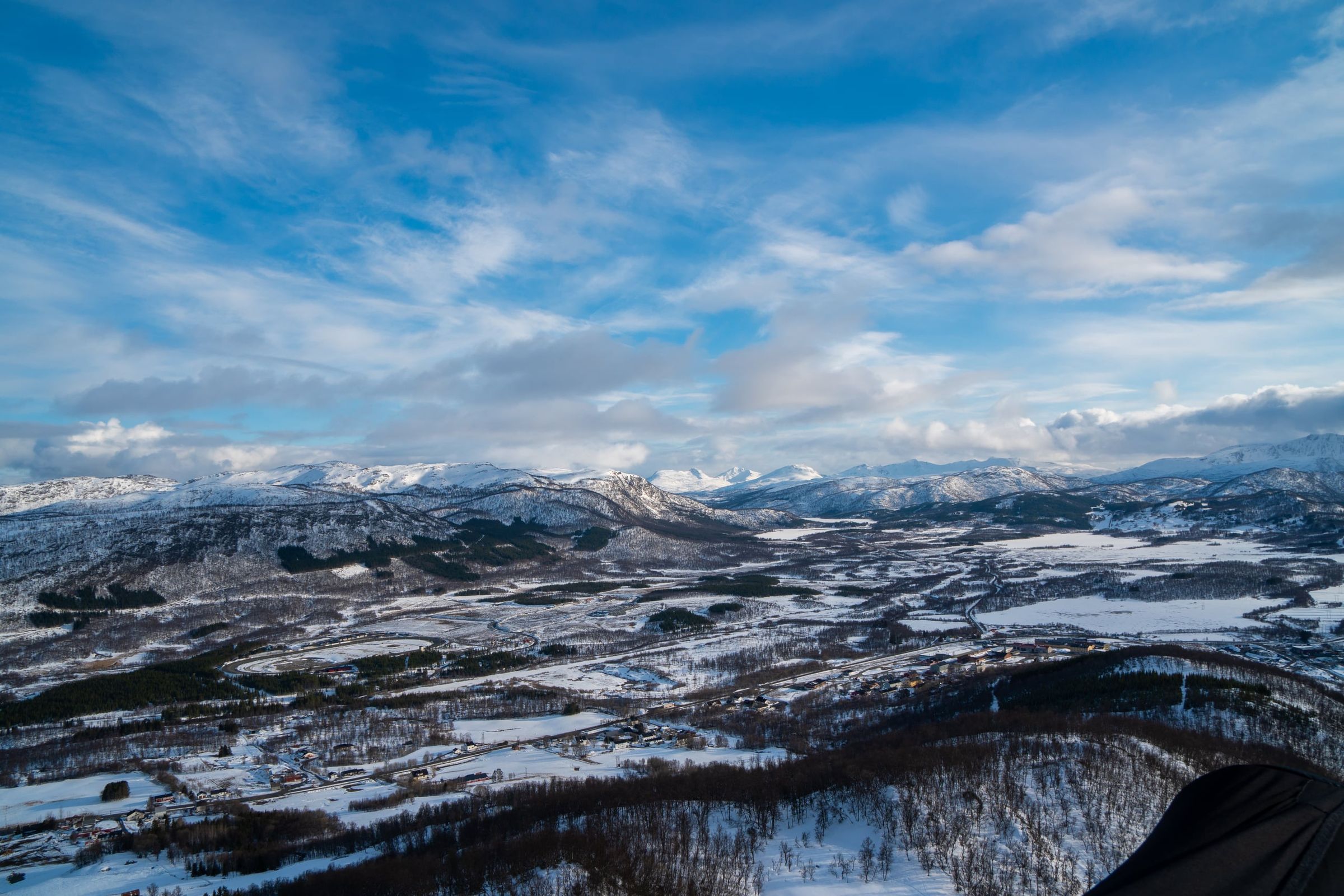
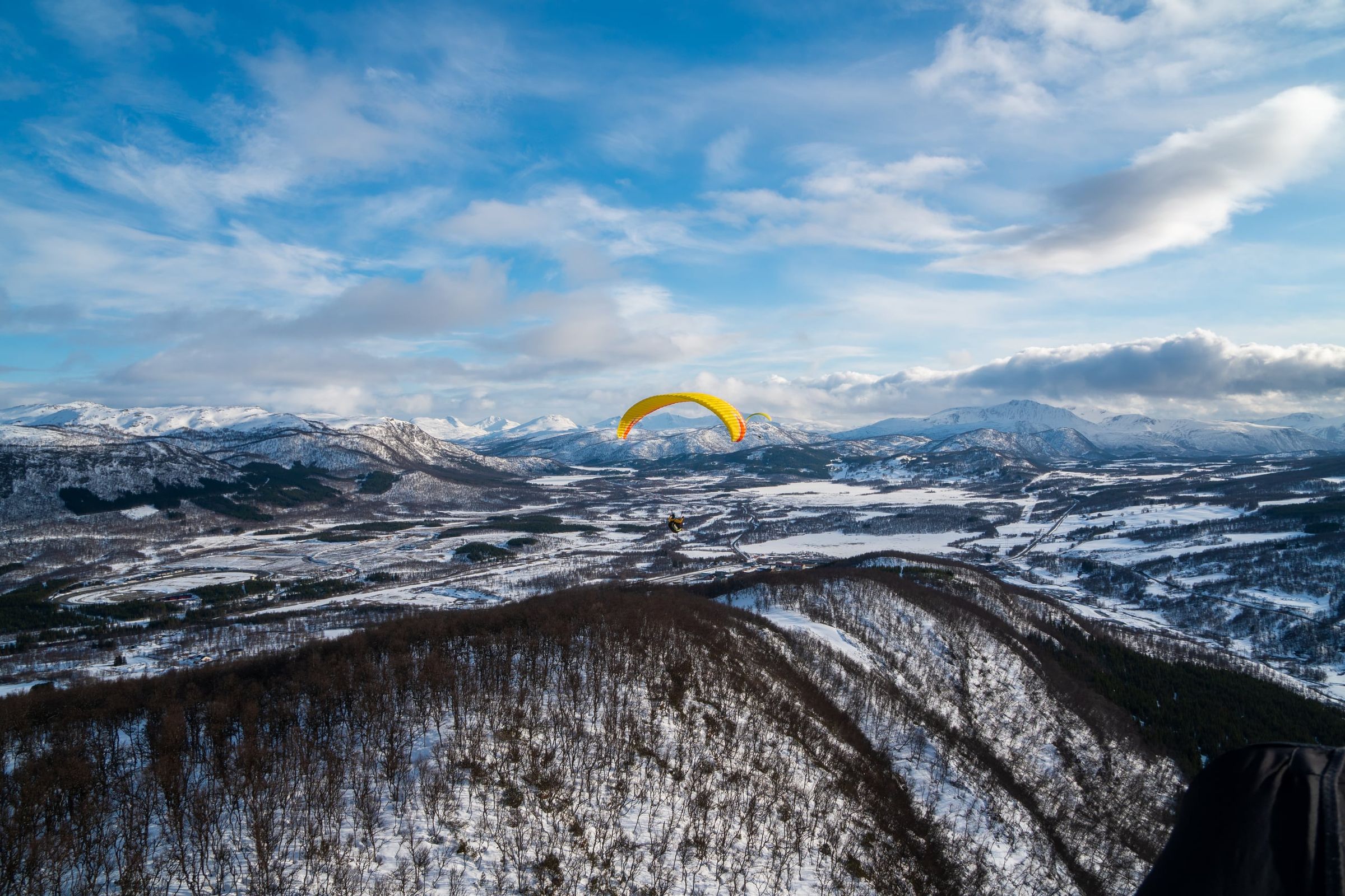
Photo: Kristoffer D. Hofstad · CC BY-NC 4.0