Keipen 475 m asl
One of the oldest flying sites, where people flew standard Rogallo wings. Strong, powerful thermals, and height gains of over 1000 m in ridge lift.
Before you launch
Demanding conditions
Rarely calm, because the mountains on the other side are high and steep. The thermals can be strong.
Cliff launch on the top
The launches on the top are steep and uneven, with a short run-up. Hence PP3.
Map
- Launch
- Landing
- PParking
- Walking route
- Directions the site works for
- Possible direction
Access
1.9 kmWalking route
180 mClimb
30 minOn foot
- Parking
- Where the trail up starts.
- Way up
- Follow the walking route on the map.
Elevation profile
Distance 0 km
Elevation
Grade
Steeper than 25%
Launch
Two launches: the lower one on the fields above Kasfjord, and the upper one on the top of Keipen.
- SWW The lower launch up towards the edge of the forest above Kasfjord is a bit rough, but works fine in some wind.
- SSWW PG Alternative launch, usually used when the wind is a bit SW or S and becomes cross on the main launch. Also covers W. In SE it gets a bit messy.
Landing
Landing on the field in Kasfjord, the same as the main landing for Nontua.
Always check the landing before you fly. If you land in a field, it must be agreed with the farmer, and the grass must not be tall.
Facts
- Main direction S, SW, W
- Possible SE
- Not suitable
- Level
- Category
- Season
- Elevation
- Launch475 m asl Landing5 m asl Difference470 m
- Airspace above launch
-
Fetched automatically from openAIP 24 Sep 2026.
Always check IPPC (opens in a new tab) before you fly. Phone numbers for the towers
Weather

Photos
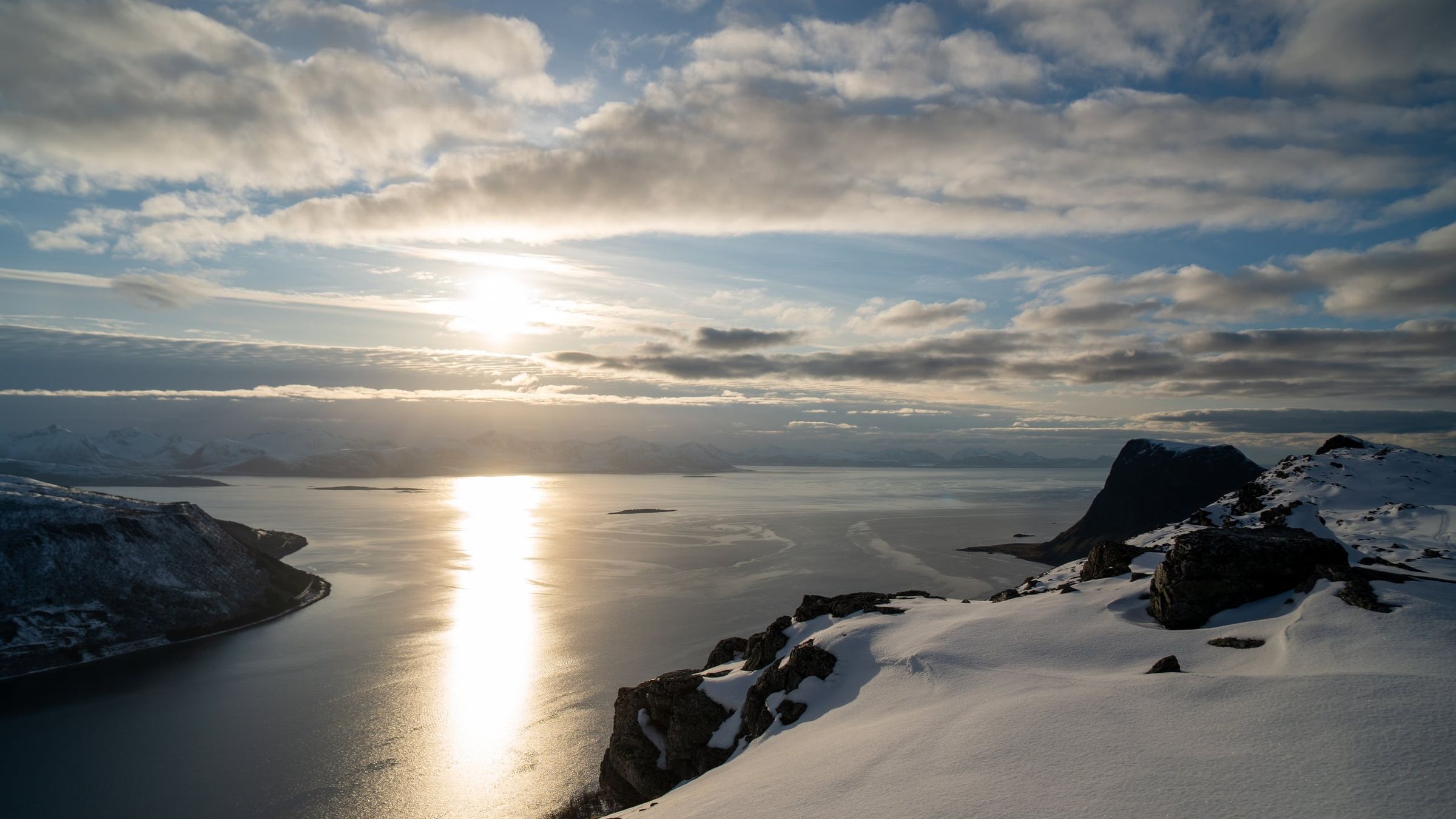
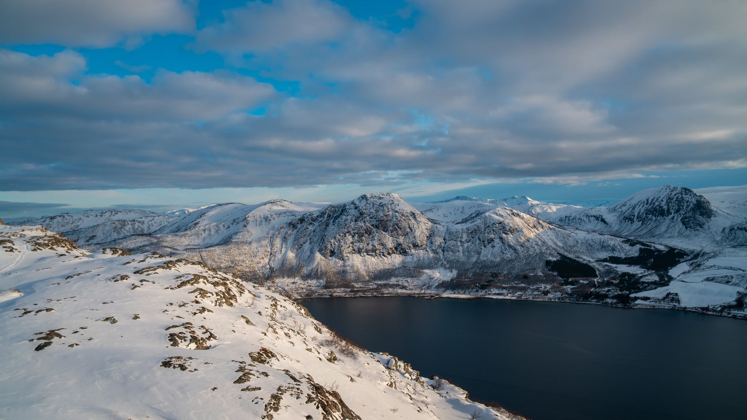
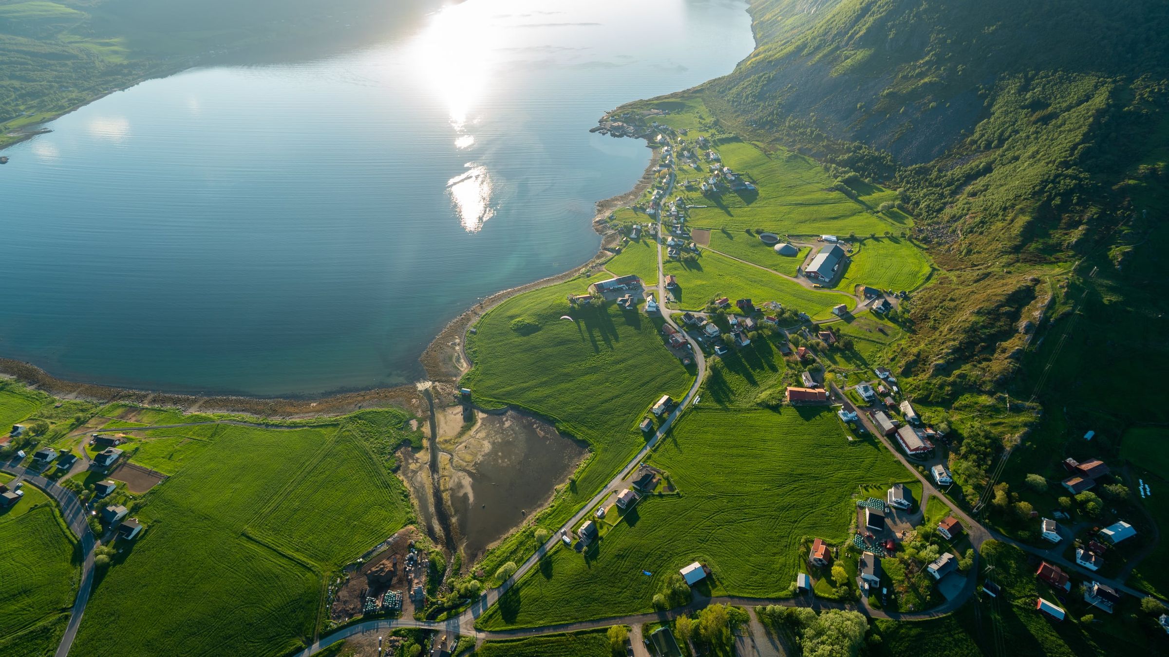
Photo: Kristoffer D. Hofstad · CC BY-NC 4.0