Hinnstein 558 m asl
Perhaps the club's best ridge-soaring site in southeasterly wind. Smooth, gets high, and has a superb view over the town.
Before you launch
Technical landing
The landing is the car park at Medkila school, surrounded by lamp posts. It is difficult if there are cars parked there. A kindergarten and a primary school are right next to it.
Map
- Launch
- Landing
- Medkilabanen landing
- PParking
- Walking route
- Directions the site works for
Access
3.1 kmWalking route
500 mClimb
60 minOn foot
- Parking
- At Medkila school.
- Way up
- The trail goes up between Hinnstein and Heia, and usually round the back of Hinnstein.
Elevation profile
Distance 0 km
Elevation
Grade
Steeper than 25%
Launch
Good ground, but a bit uneven. The launch towards the east is short and rough.
- ESE First and foremost a ridge-soaring site.
Landing
The main landing is the car park at Medkila school, which is also the alternative landing for Heia. The alternative landing is the football pitch at Medkila (Medkilabanen), which is the main landing for Heia.
Always check the landing before you fly. If you land in a field, it must be agreed with the farmer, and the grass must not be tall.
Facts
- Main direction E, SE
- Possible
- Not suitable
- Level
- Category
- Elevation
- Launch558 m asl Landing53 m asl Difference505 m
- Airspace above launch
-
Fetched automatically from openAIP 24 Sep 2026.
Always check IPPC (opens in a new tab) before you fly. Phone numbers for the towers
Weather

Photos
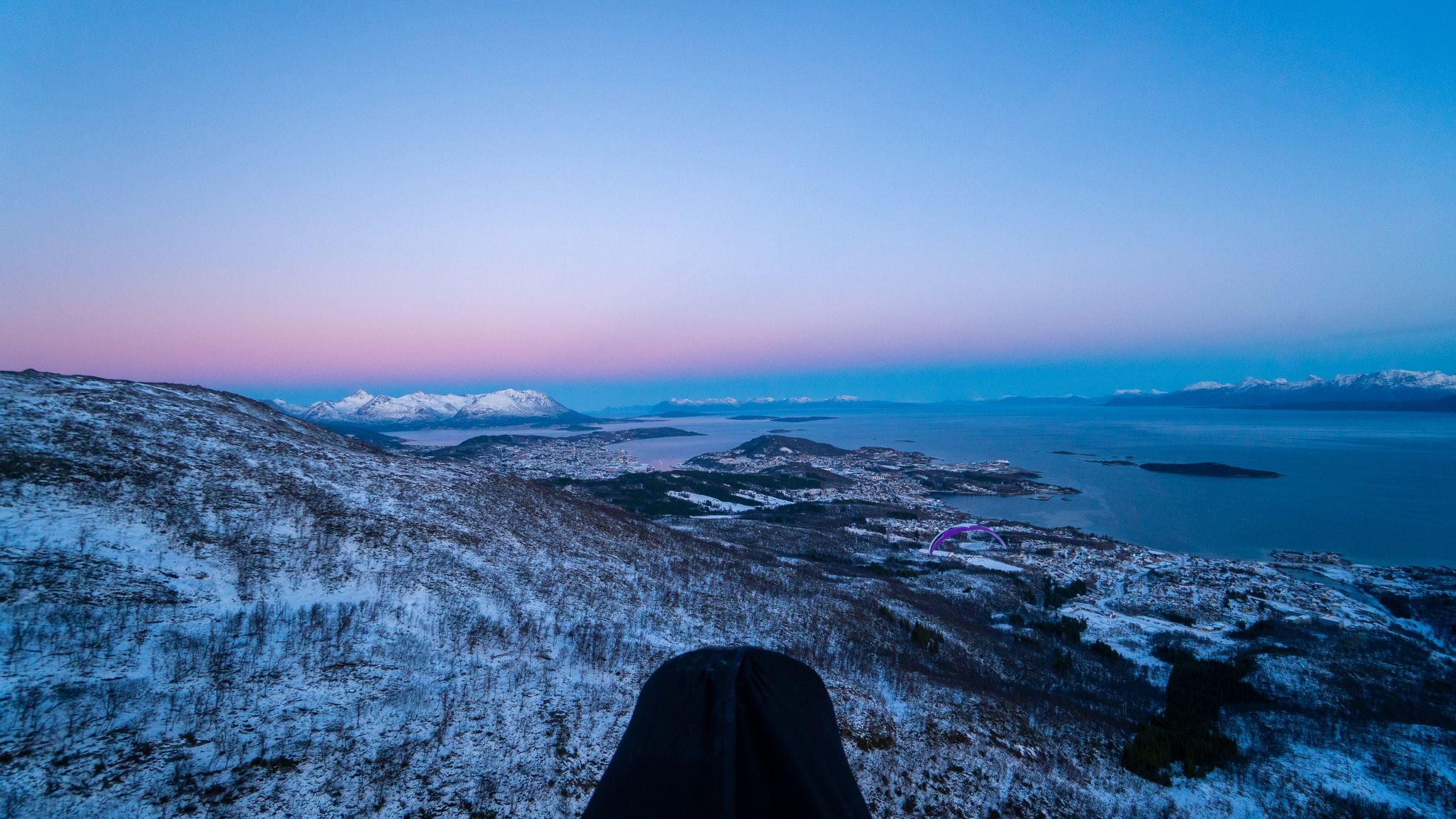
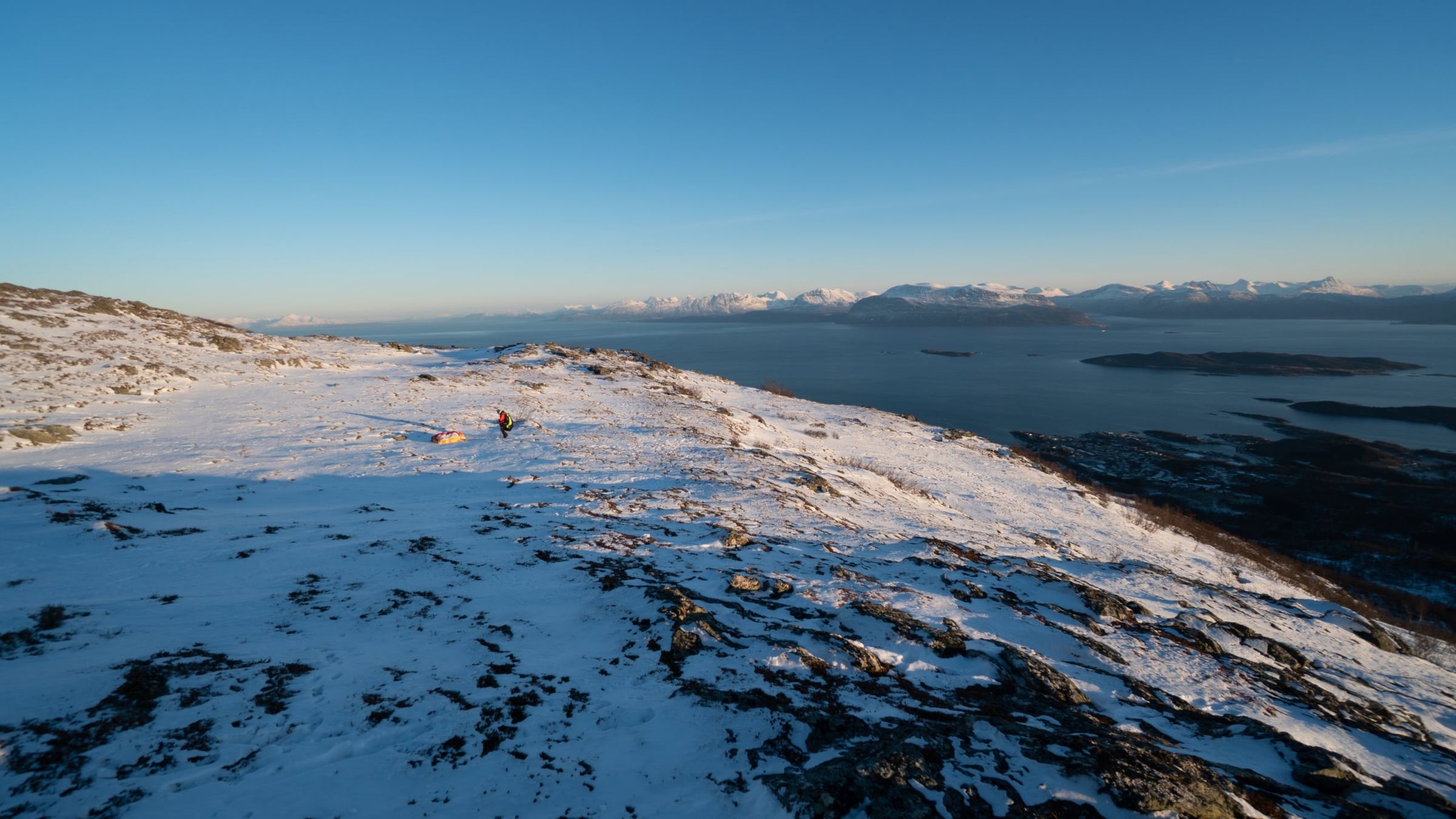
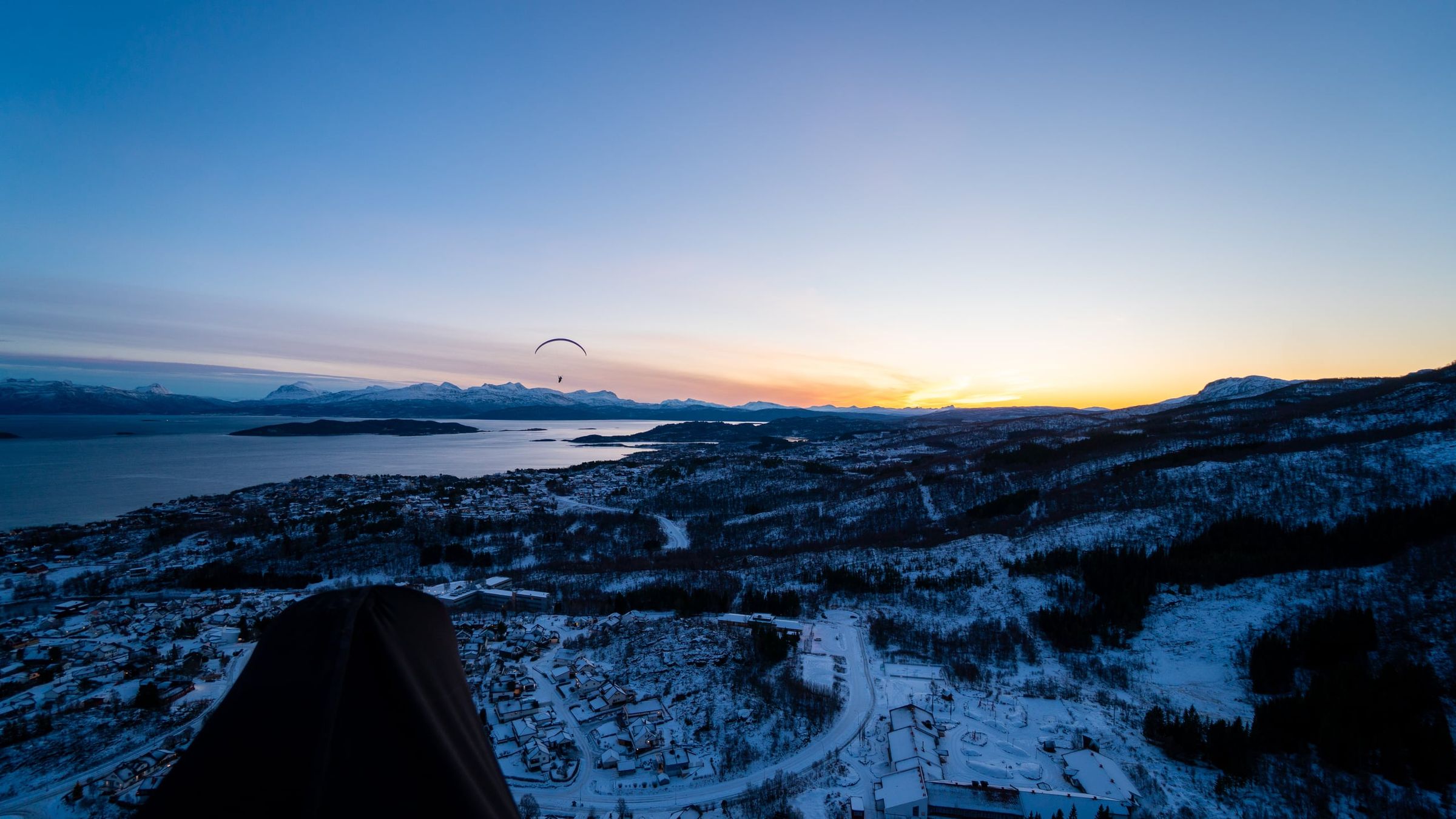
Photo: Kristoffer D. Hofstad · CC BY-NC 4.0