Haugfjellet 523 m asl
Short hike from Bjerkvik, with good launch conditions towards the east.
Before you launch
No particular hazards registered for this site.
Map
- Launch
- Landing
- Landing on the foreshore in Bjerkvik centre
- PParking
- Walking route
- Directions the site works for
Access
2.6 kmWalking route
450 mClimb
50 minOn foot
- Parking
- By the forest road about 1 km after Bjerkvik, towards Harstad.
- Way up
- Follow the forest road to the treeline, and continue towards the mountain.
Elevation profile
Distance 0 km
Elevation
Grade
Steeper than 25%
Launch
Good launch conditions towards E.
- NEESES PG Good launch conditions towards E.
Landing
There are several landings, including the field about 300 m southwest of the parking. Alternatively you can land down on the foreshore in Bjerkvik centre.
Always check the landing before you fly. If you land in a field, it must be agreed with the farmer, and the grass must not be tall.
Facts
- Main direction NE, E, SE, S
- Possible
- Not suitable
- Level
- Category
- Elevation
- Launch523 m asl Landing77 m asl Difference446 m
- Airspace above launch
-
Fetched automatically from openAIP 6 Oct 2026.
Always check IPPC (opens in a new tab) before you fly. Phone numbers for the towers
Weather

Photos
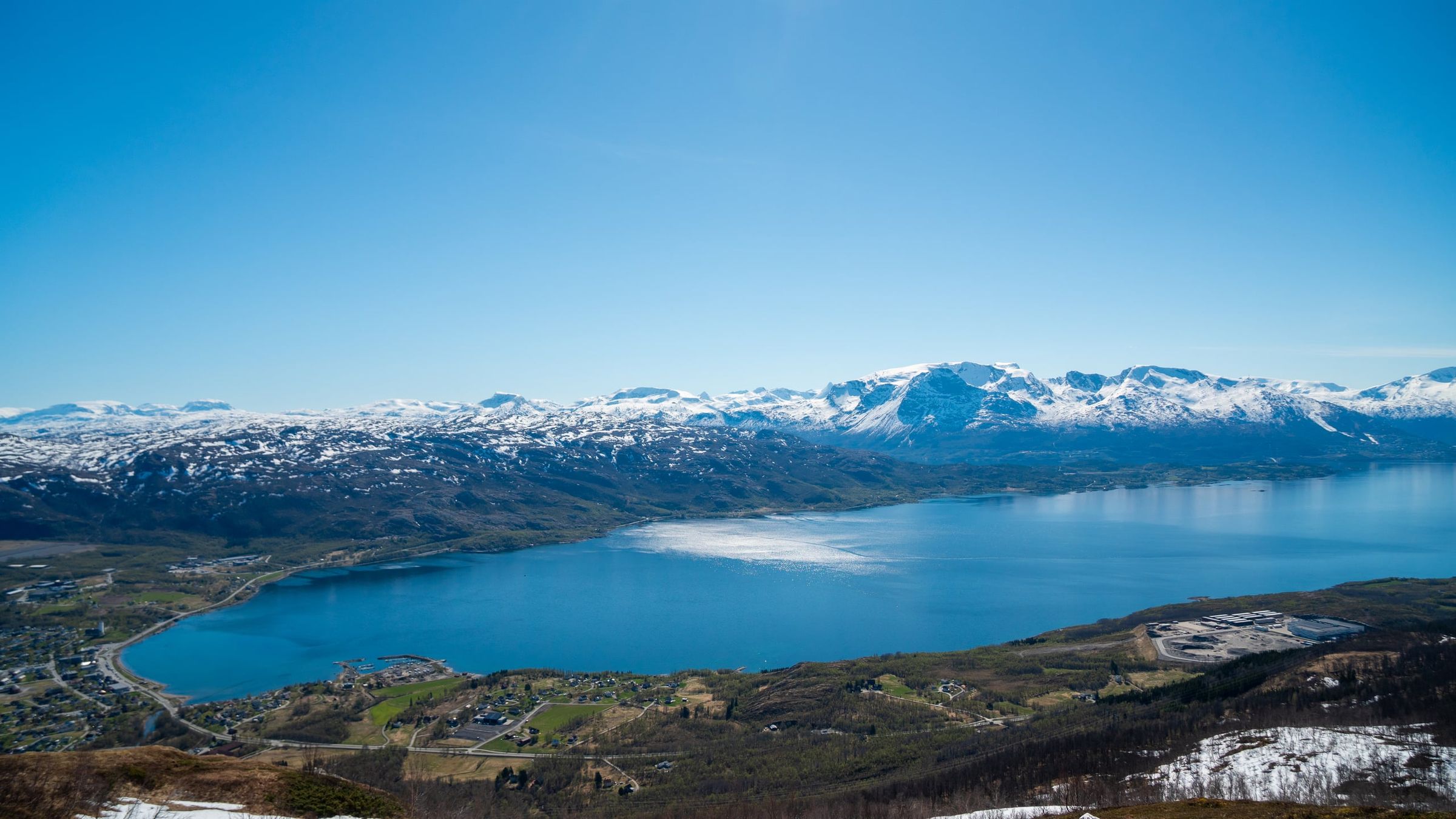
Photo: Kristoffer D. Hofstad · CC BY-NC 4.0
More photos are needed. Do you have photos from here? Send them in (opens in a new tab)