Årbostadtinden 1179 m asl
Summit on Andørja, with a long hike up: almost 1200 metres of ascent from the road.
Before you launch
Power lines
Check the planned landing beforehand. There are high-voltage, low-voltage and telephone lines in the area.
Map
- Launch
- Landing
- PParking
- Walking route
- Directions the site works for
- Possible direction
Access
4.7 kmWalking route
1170 mClimb
95 minOn foot
- Parking
- In the lay-by on the other side of the road, where the hiking trail starts.
- Way up
- Follow the hiking trail to the top, see ut.no.
Elevation profile
Distance 0 km
Elevation
Grade
Steeper than 25%
Launch
High mountain launch, hence PP3. The top is big enough to launch in most directions, but primarily towards W, NW, N, NE and E, so the landing is near the road. Some wind onto the top is recommended.
- NNEENW PG You can launch in all directions from the top, but primarily towards W, NW, N, NE and E so the landing is near the road.
- SE SPG SPG has launched towards SE just southwest of the top. It is probably possible to take off from several sides of the mountain.
Landing
Land on grass down by the road, northeast of the top by the sea. The landing suits both PG and SPG. Clear it with the farmer before you land, and check the landing beforehand with regard to power lines.
Always check the landing before you fly. If you land in a field, it must be agreed with the farmer, and the grass must not be tall.
Facts
- Main direction N, NE, E, NW
- Possible SE
- Not suitable
- Level
- Category
- Elevation
- Launch1179 m asl Landing9 m asl Difference1170 m
- Airspace above launch
-
Fetched automatically from openAIP 6 Oct 2026.
Always check IPPC (opens in a new tab) before you fly. Phone numbers for the towers
Weather

Photos
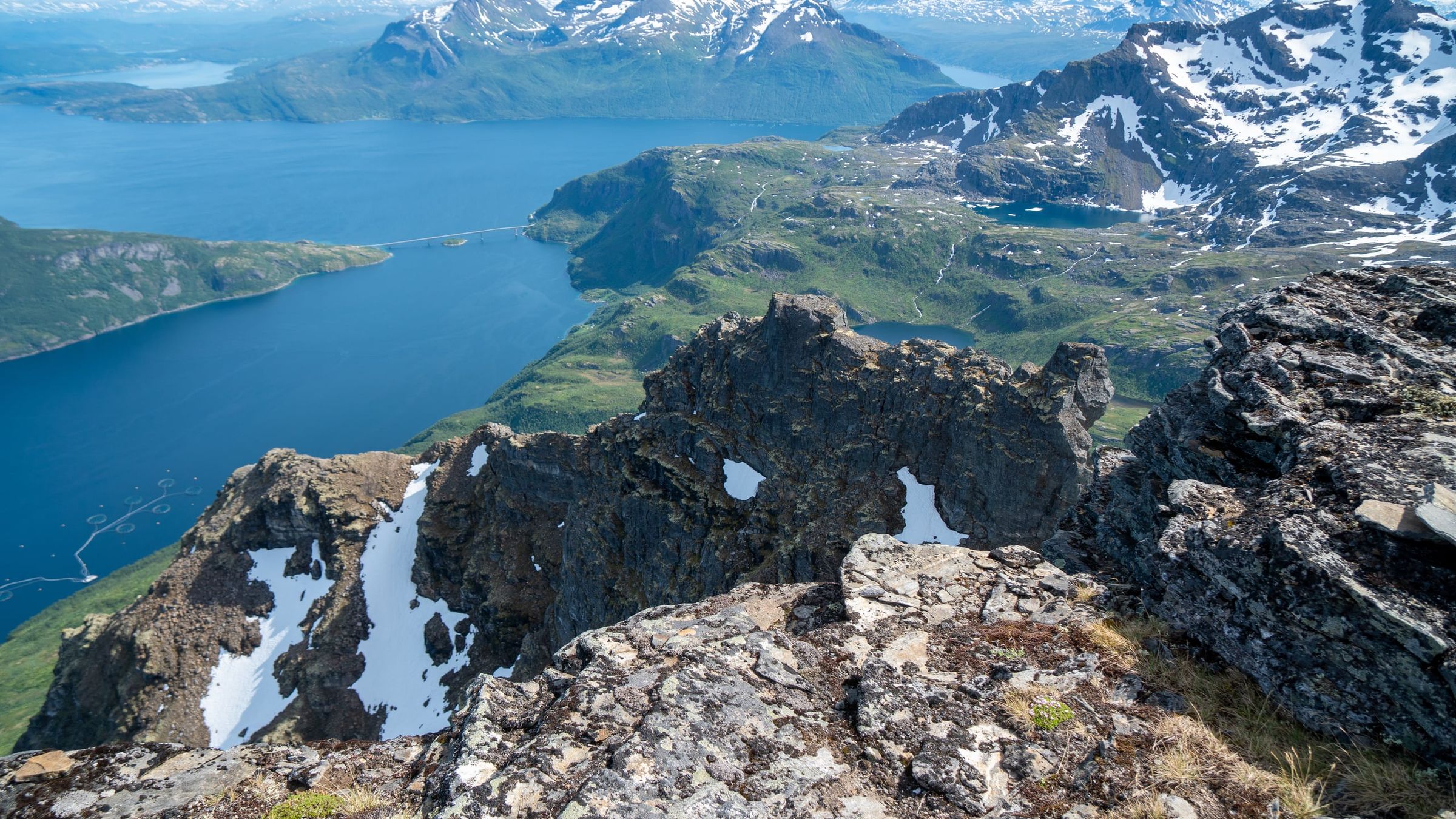
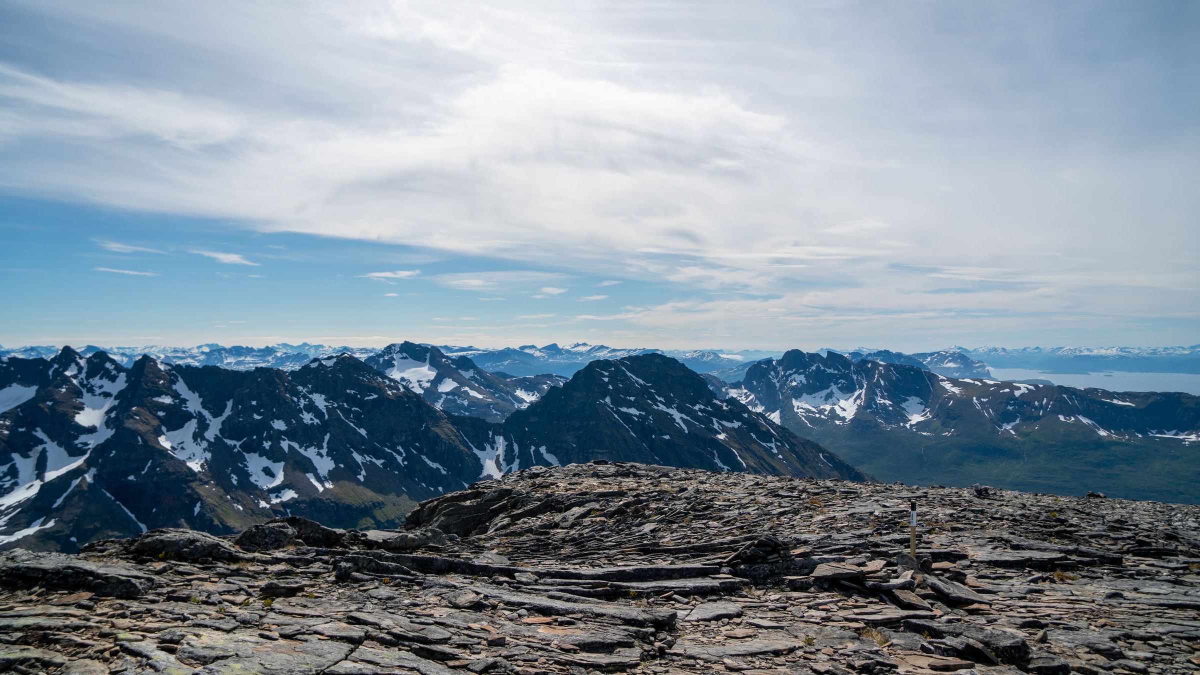
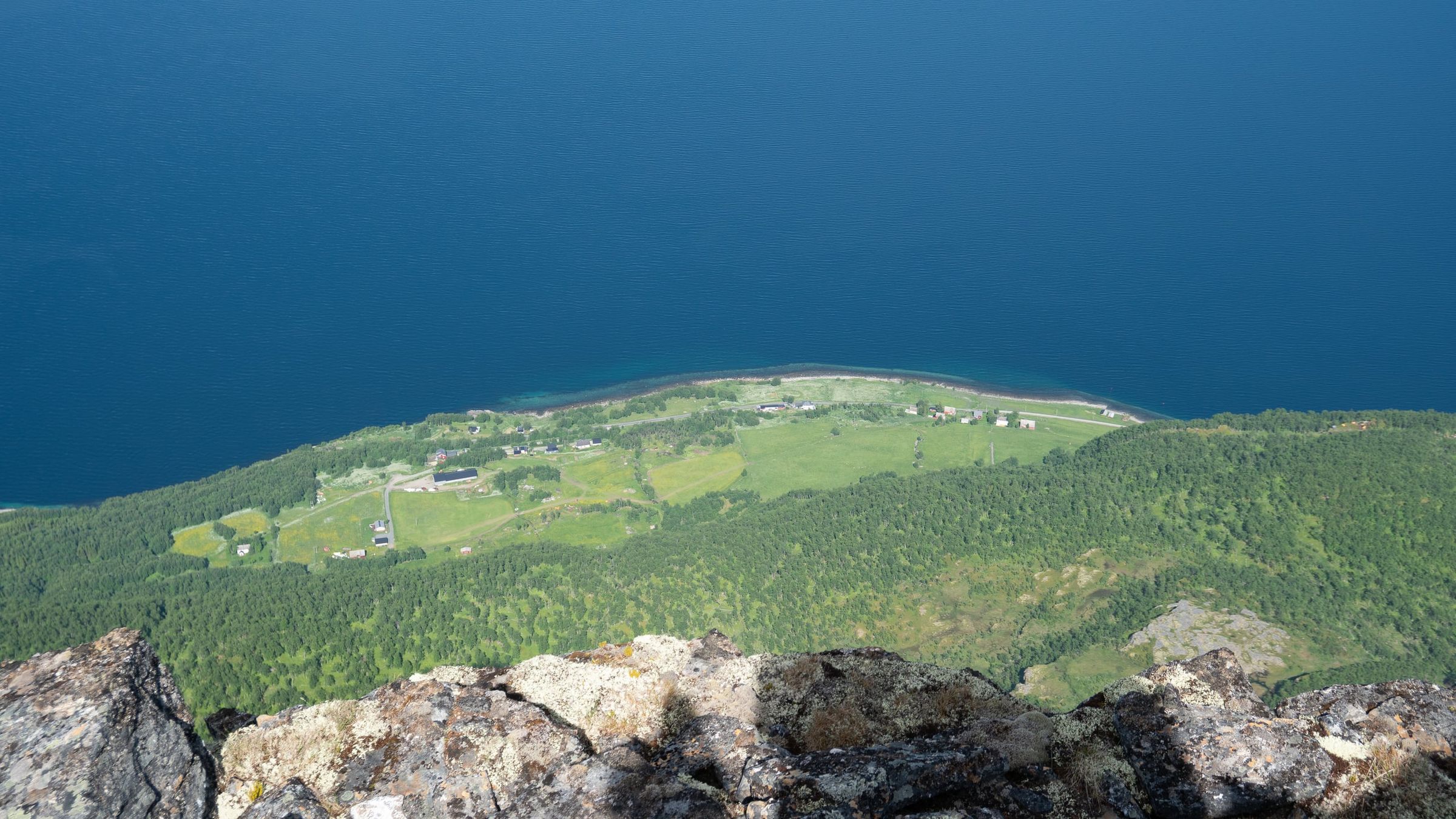
Photo: Kristoffer D. Hofstad · CC BY-NC 4.0